
Thunderstorm warning issued for Sheffield as Met Office forecasts heavy rain & "risk of hail"
The yellow warning for thunderstorms is set to come into effect this morning
Sheffield has been issued with a yellow warning of thunderstorms.
The warning, which has been issued by the Met Office, comes into force from 11am this morning (Sunday, August 30, 2026) and will remain in place until midnight.
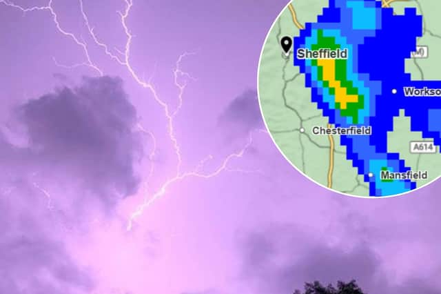

Detailing the yellow weather warning, a Met Office spokesperson said: “Heavy showers and thunderstorms bringing disruption to transport, infrastructure and outdoor activities.
- There is a good chance driving conditions will be affected by spray, standing water and/or hail, leading to longer journey times by car and bus
- Delays to train services are possible
- Probably some damage to a few buildings and structures from lightning strikes
- Some short-term loss of power and other services is likely
- Some flooding of a few homes and businesses possible, leading to some damage to buildings or structures.”
The Met Office is also forecasting heavy rain, as well as a “risk of hail,” for Sheffield.
Their Sheffield forecast states: “Outbreaks of showery rain at first, perhaps heavy in places, and some drier intervals.
“Perhaps briefly becoming drier more widely around midday. Further heavy showers and thunderstorms then developing through the afternoon with a risk of hail. Maximum temperature 22°C.
“Showers and thunderstorms continue during the evening, before easing into Monday. Staying rather cloudy, with hill fog across the Pennines. A few showers remain possible by dawn. Minimum temperature 11°C.”