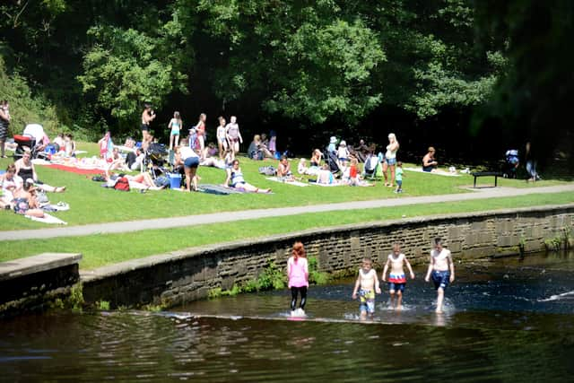
Sheffield weather: Met Office issues update with new dates for Sheffield heatwave
and live on Freeview channel 276
Earlier this month the forecaster said the middle of August could bring “above average” temperatures in northern areas, along with drier weather and sunny spells.
Experts said there were signals of a “drier and warmer than average period from the middle of August”, with “possibly even very warm conditions at times”, and the trend was expected to continue through to the end of the month.
Advertisement
Hide AdAdvertisement
Hide AdThe provisional date issued at the time was around August 16 – although these are of course predictions and can never be 100 per cent accurate – with conditions set to perk up from this point onwards.

However, in its latest long-range forecast, the Met Office has said it is now more likely that the better weather will come at the end of the month, continuing into September.
For the period from Monday, August 23 to Monday, September 6, forecasters have said confidence remains relatively low, but “a general trend towards more settled conditions is likely”.

The beginning of this period is set to be “somewhat unsettled and changeable”. However, “more settled, drier conditions” are expected by the end.
Advertisement
Hide AdAdvertisement
Hide AdThe forecast adds: “Temperatures are likely to be above average, with the potential for hotter weather later in the month.”
The weather news for Sheffield has not been overly positive of late, with multiple warnings issued last week for heavy rain and thunderstorms.
And unfortunately the trend doesn’t appear to be getting much better just yet.
While the next week looks set to bring more periods of sunshine and lighter winds for the first few days – Wednesday (August 11) is set to be the best day – showers are still expected and the breeze is likely to pick up by the end of the week.
Advertisement
Hide AdAdvertisement
Hide AdFrom Friday, August 13, it does look like we may have a little bit more of a battle to get through before the warmer weather arrives.
The Met Office says: “An unsettled start to the period bringing heavy thundery showers across the north and northwestern areas while remaining largely dry elsewhere with sunny spells. By the weekend there is an increasing likelihood of thicker cloud bringing further rain and stronger winds to northwestern areas, with drier and brighter conditions across the southeast.
"Beyond this it is likely to remain changeable; confidence is low in terms of detail, but most places will likely see showers or longer rain spells, interspersed with some drier, more settled periods, these likely becoming more common toward the end of this period. Strong winds are possible at times, especially in the northwest. Temperatures likely to be around average, perhaps warm in the east and southeast.”
So it looks like the majority of August could be set to be a washout month, with chances of showers and rain expected most days and more unsettled conditions on the cards – but at least temperatures are not expected to be below average.
Advertisement
Hide AdAdvertisement
Hide AdThe Met Office issues updates to its long-range forecast daily.