Hour-by-hour weather forecast: Sheffield wakes up to blanket of snow as temperatures plunge
and live on Freeview channel 276
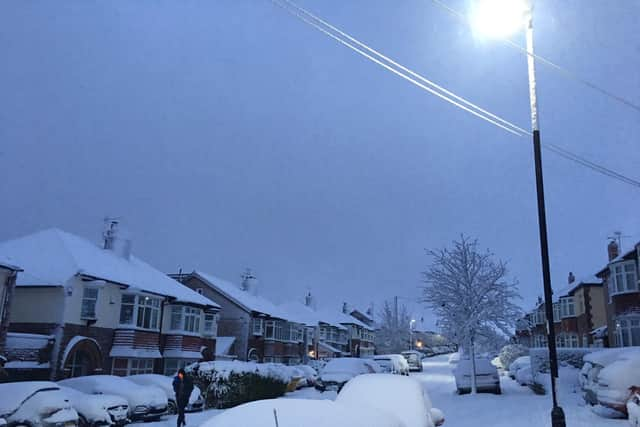
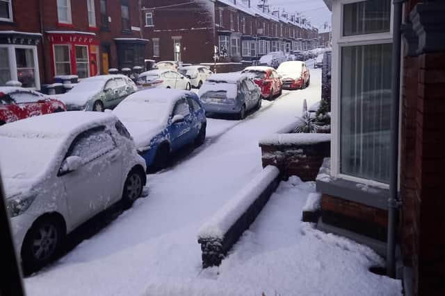
Snow started falling in the early hours of November 27 in areas including Intake, Handsworth, Crosspool and Greystones.
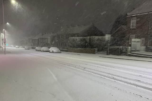
The Met Office on Friday put out a yellow warning of snow affecting Yorkshire and the Humber for two days.
Advertisement
Hide AdAdvertisement
Hide AdThe map appears to show a band of snow falling in the area between Sheffield and Manchester, and forecasters warned of snow on the hills.

The weather warning issued this evening states: "Spells of hill snow may cause some disruption to travel Friday night and into Saturday."
"There is a small chance of travel delays on roads with some stranded vehicles and passengers, along with delayed or cancelled rail and air travel."
"There is a slight chance that some rural communities could become cut off."
Advertisement
Hide AdAdvertisement
Hide Ad"There is a small chance that power cuts will occur and other services, such as mobile phone coverage, may be affected."
Saturday will begin 'very windy,' with outbreaks of rain or sleet at low altitudes, but snow above high land, according to the Met Office.
The maximum temperature is 5°C.
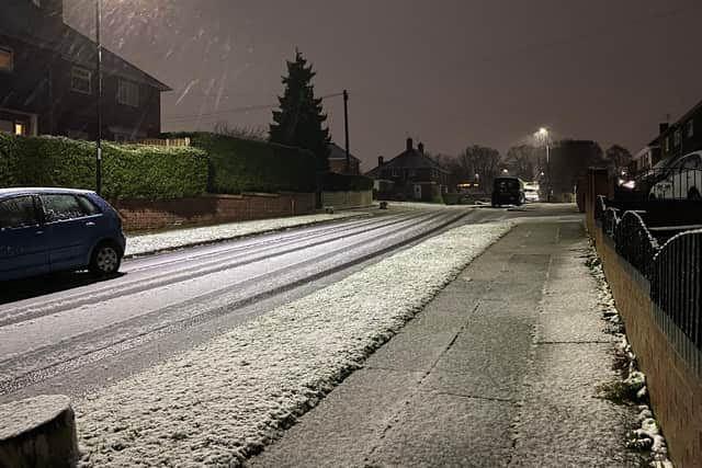
Meanwhile tonight, western areas will be dry and clear, with a frost and icy stretches likely on untreated surfaces as temperature plummets to -3 °C.

Here's an hour-by-hour forecast for Saturday in Sheffield
8am - Light rain
9am - Heavy rain
10am - Sleet
11am - Light shower
noon - Overcast
1pm - Cloudy
2pm - Overcast
3pm - Overcast
4pm - Overcast
5pm - Light shower
6pm - Overcast
7pm - Overcast
8pm - Light shower
9pm - Light shower
10pm - Light shower
11pm - Light shower