
No more 'stand and wait' worries - Google Maps now shows how far away your bus is from your stop in Sheffield

Of all the things to get excited about, an update for Google Maps to make catching buses more reliable is pretty dry.
But if you’ve ever found yourself stood waiting at a bus stop, with no bus in sight, feeling fidgety and uncertain whether it’s been cancelled, delayed or you are simply late... well, I’ve often thought “I wish I could see it, just to be sure.”
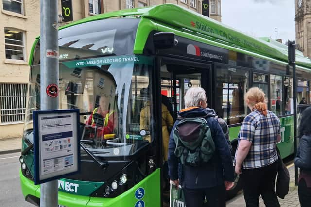

That’s why, for years, I’ve enjoyed using bustimes.org, which tracks over 24,000 buses in England in real time.
Over and over again, it’s been there to assure me the No 75 really is on its way and I haven’t made a huge mistake that will now cost me a hasty taxi fare.
Now, though, the good people at bustimes.org are likely to lose a lot of traffic.
The Department for Transport announced on April 2 it is linking up with Google Maps to provide real-time tracking for buses in England.

Much like watching your ride approach on the Uber app, Google Maps now gives live information on where your bus is and how long it will take to arrive, ending the “guesswork” when it comes to catching a bus, the Department for Transport claims.
It has been the standard in London for several years, but has now been rolled out to the rest of England.
Meanwhile, The i observes: “In particular, it is hoped the app will give women and girls greater confidence to travel by bus, as it will allow them to know exactly when their bus will arrive, meaning they can plan when to make their way to the bus stop.”
To find your bus, enter where you want to go on Google Maps, ask for directions, select public transport options and pick your route. The bus stop you need will be highlighted, while the bus itself will pop up on the map to show how much time you have.
It would appear to mean Google is making use of data that was already available (seeing as the folks at bustimes.org were doing it for years).
It seems to work well enough in Sheffield city centre - the real test will be whether rural residents and villages in the Peak District will get the same luxury.
Of course, if you need to see all buses, timetables and even the complete routes they take - bustimes.org has your back, as it has done for years.