New coronavirus map reveals how many Covid cases in EVERY Sheffield postcode
and live on Freeview channel 276
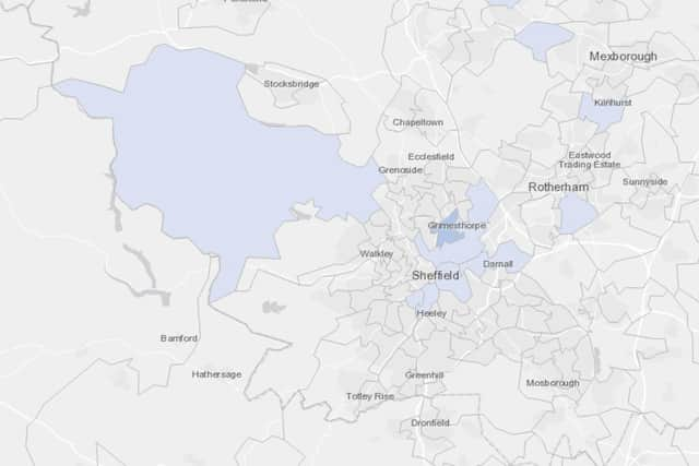
A new map produced by Public Health England breaks down the number of confirmed cases of coronavirus by neighbourhood during the week ending Sunday, July 12.
Crabtree & Fir Vale had the most of anywhere in Sheffield, with 11, followed by Highfield & Lowfield, with nine.

Advertisement
Hide AdAdvertisement
Hide AdThe other areas of Sheffield where confirmed cases were recorded during that period were:
Burngreave & Grimesthorpe: 8
Park Hill & Wybourn: 7
Brightside & Wincobank: 6
Sharrow: 4
Darnall: 3
Oughtibridge & Bradfield: 3
Crabtree & Fir Vale was last month revealed as having had more coronavirus deaths than any other neighbourhood in England during the three months to May, with two thirds of those 66 fatalities related to care homes.
The new map shows that one neighbourhood in Leicester, where a local lockdown has been imposed, had 51 confirmed cases of coronavirus in a week.