
What’s in a name? This is how Shalesmoor in Sheffield is connected to the Middle Ages
Shalesmoor is a historically industrial district near Kelham Island in Sheffield and home to a controversial roundabout. However, the name Shalesmoor has a medieval connection which some may not know about...
Did you know that many of Sheffield’s street names date all the way back to the Middle Ages?
The Middle Ages span a 400-year time period dating from the Norman Conquest in 1066 up to the start of the Tudor dynasty following the Battle of Bosworth in 1485 – known as the War of the Roses, a civil war between Lancashire and Yorkshire.
Shalesmoor is one of the names from that period. If you go past West Bar to the main northern road now called Moorfields, Shalesmoor was a small piece of common land (usually for grazing livestock, collecting wood, or other arable trades such as cutting peat), formerly known as Sherramoor.
According to the Sheffield City Council’s archives, the name Sherramoor is the same as Sharrow Moor in the Ecclesall township of the time – known historically for the 17th-century Sharrow Moor School on Bagshot Street and the tobacco grinding ‘snuff mills’.

Both feature the Old English word ‘scearu’, meaning ‘cut’ or ‘divided’, and were (at least according to the name) ‘a boundary’ to townships.
Shalesmoor was adjoined by the Townefield with ‘doles’, partitioned parts of land or divided fields to grow things on.
In short, Shalesmoor or Sherramoor would have been the site of Sheffield’s common fields, something confirmed in deeds dating back to before 1305. It was essentially the allotment land of a time long gone, a place that pre-dated the many townships that eventually merged together in the evolution of what we know as Sheffield today.
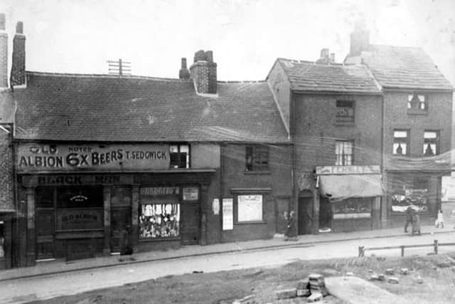
Many of the narrow streets that remain to this day are medieval in origin, following the routes of lanes that once connected the medieval city to the outlying fields. This was something that was illustrated in ‘Ralph Gosling's Plan of Sheffield in the year 1736’.
The later development of the Shalesmoor area in the 18th and 19th century saw the first expansion of the city from its previously traditional urban core. This resulted in streets such as Hollis Croft and Scotland Street being built along the boundaries of the open-field layout. The rest as they say… is history.
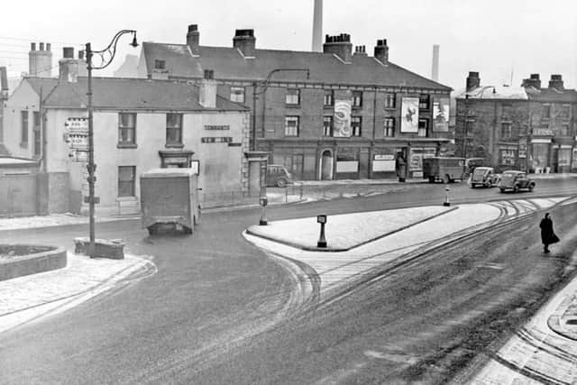
Nowadays Shalesmoor, located near Kelham Island, is known for historic sites like the Nichols Building, a once bustling grocer's warehouse, and presently for its redevelopment into a mixed-use area connecting the former industrial district and now ‘trendy contemporary living spaces’ to the city centre.