

The pictures, taken from a new feature by Google, show major changes in the city as parts of the Sheffield have been redesigned over the years, clearly showing many long lost buildings.
We have included 20 pictures, which bring back memories of how the city looked, in the gallery below.
It includes a number of the city’s schools as they appeared in 1999. Since then many have been demolished or rebuilt, including Tapton, King Edwards Lower, Waltheof, City, Abbeydale Grange and Myers Grove.
It also shows important parts of the city centre which have been altered beyond recognition, and some of the city’s high rise landmarks which have been flattened.
Take a look at the gallery below and see how the city had changed.
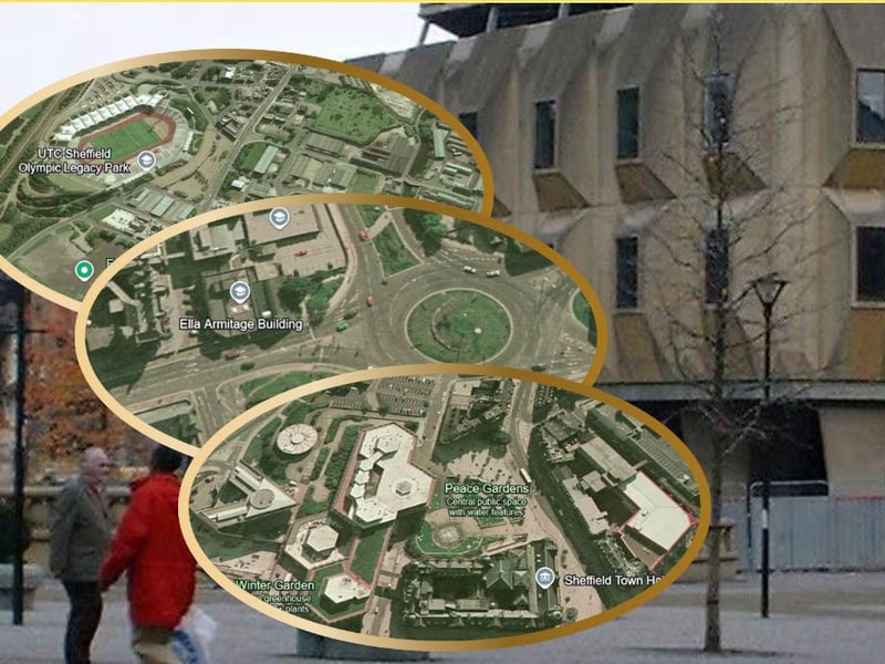
1. Sheffield, 1999
Our gallery shows 18 satellite pictures of how Sheffield looked in 1999. Photo: Google Earth | Google Earth Photo: Google Earth

2. Egg box and wedding cake
Pictures show the old 'egg box building' town hall extension and 'wedding cake' register office in the centre, in a time before the winter garden had been built. Photo: Google Earth | Google Earth Photo: Google Earth

3. Eyre Street underpass
The junction of Furnival Gate and Eyre Street in Sheffield, when the underpass still ran underneath the roundabout before it was filled in. Photo: Google Earth | Google Photo: Google Earth
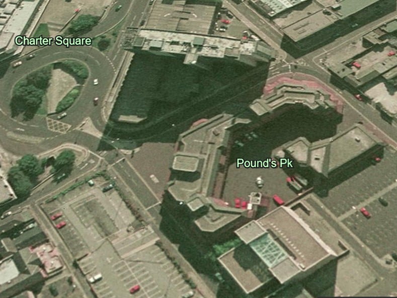
4. Sheffield fire station near Charter Square
It's now Pounds Park. But this is how that corner near Carver Street and Charter Square looked when there was still a fire station on that site. Photo: Google Earth | Google Earth Photo: Google Earth