


The pictures, taken from a new feature by Google, show major changes in the city as parts of the Sheffield have been redesigned over the years, clearly showing many long lost buildings.
We have included 20 pictures, which bring back memories of how the city looked, in the gallery below.
It includes a number of the city’s schools as they appeared in 1999. Since then many have been demolished or rebuilt, including Tapton, King Edwards Lower, Waltheof, City, Abbeydale Grange and Myers Grove.
It also shows important parts of the city centre which have been altered beyond recognition, and some of the city’s high rise landmarks which have been flattened.
Take a look at the gallery below and see how the city had changed.

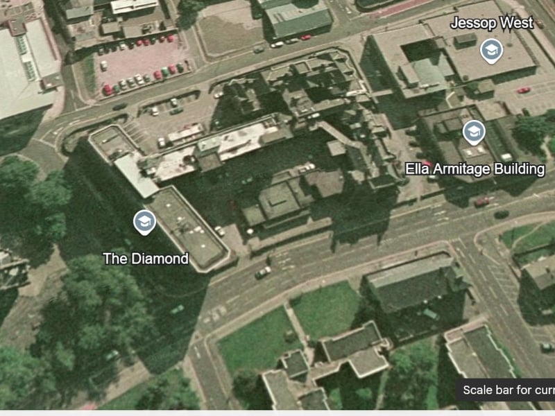
5. Jessop Hospital
This view of Brook Hill roundabout shows the Jessop Hospital still standing, and trees where the university's Information Commons now stands. Photo: Google Earth | Google Earth Photo: Google Earth
6. Hospital
Another view of the Jessop Hospital, next to Brook Hill, where The Diamond now stands Google Earth | Google Earth Photo: Google Earth
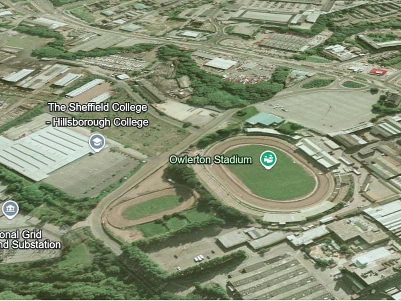
7. Hillsborough College, Owlerton Stadium
There was now sign of Hillsborough college on its present site, in this picture next to Owlerton Stadium. it is also before the OEC was build near the speedway track's first bend. Google Earth | Google Earth Photo: Google Earth
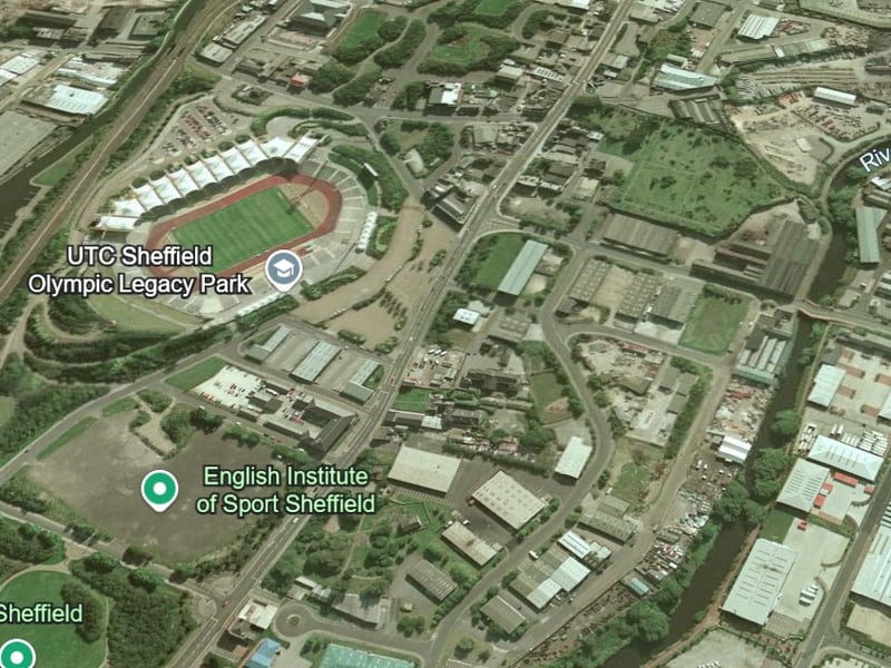
8. Don Valley Stadium
This was how the Don Valley looked in 1999, when it was still the home of the Don Valley Stadium, which had been built for the World Student Games eight years earlier. Photo: Google Earth | Google Earth Photo: Google Earth