


And these fascinating pictures, which were taken in 1999, show how much has changed in Sheffield, and capture long lost pictures of landmarks including the schools that many of us attended.
The pictures were taken from above by Google and have been made available on Google Earth for the first time.
Take a look at the pictures and see how many of these well known landmarks you recognise or remember from 26 years ago.
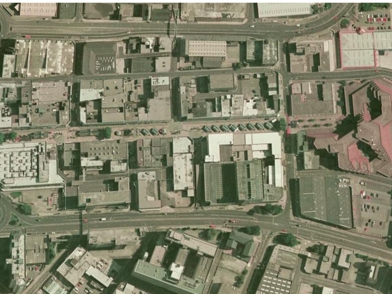
13. The Moor
This picture shows The Moor as it appeared in 1999, complete with all the market stalls. The Moor is the street running in the middle of the picture. Photo: Google Earth | Google Earth Photo: Google Earth
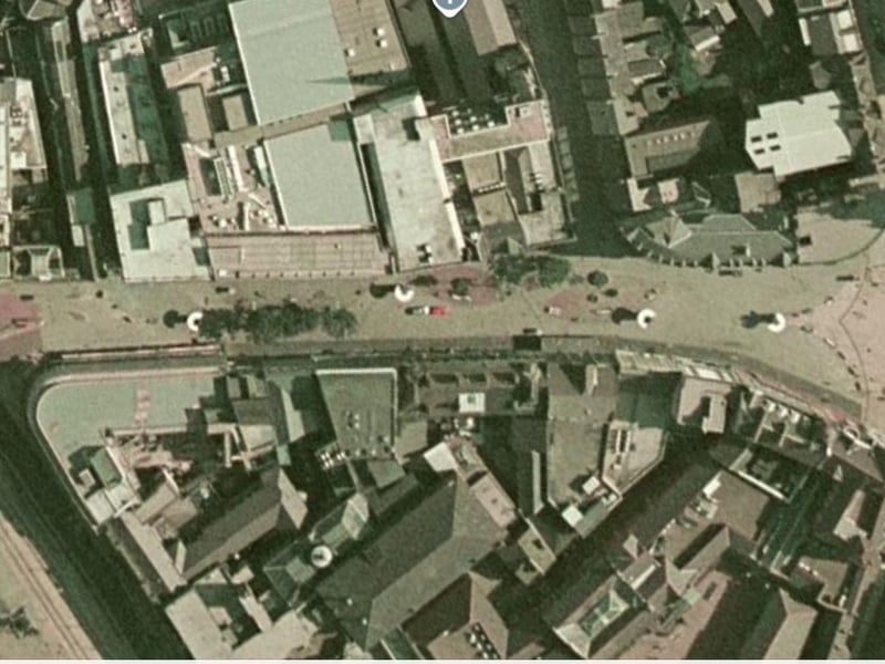
14. Fargate
This was how Fargate appeared from a satellite view in 1999. Photo: Google Earth | Google Earth Photo: Google Earth
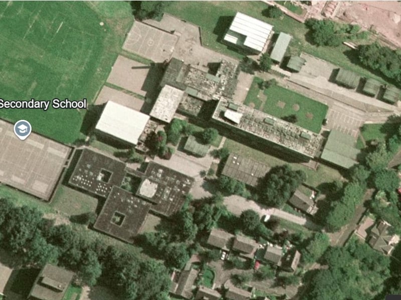
15. Tapton School
This was how the original Tapton School building appeared on Darwin Lane, before it was demolished and replaced with a new building. Google Earth | Google Earth Photo: Google Earth
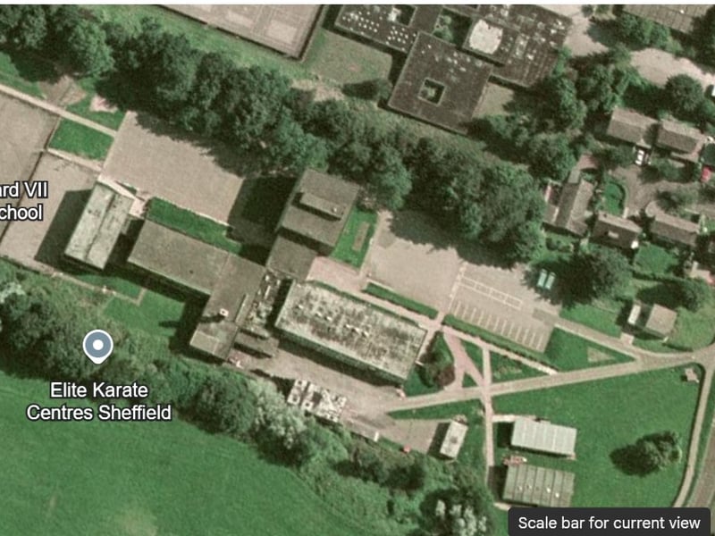
16. King Edward VII lower school
This was how the original King Edward VII lower school building appeared on Darwin Lane, before it was demolished and replaced with a new building. Google Earth | Google Earth Photo: Google Earth