


And these fascinating pictures, which were taken in 1999, show how much has changed in Sheffield, and capture long lost pictures of landmarks including the schools that many of us attended.
The pictures were taken from above by Google and have been made available on Google Earth for the first time.
Take a look at the pictures and see how many of these well known landmarks you recognise or remember from 26 years ago.
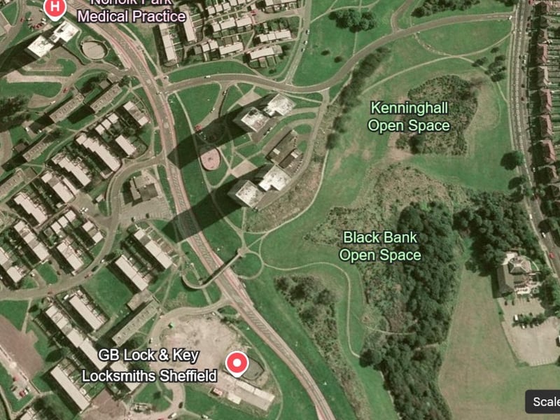
9. Norfolk Park Flats tower blocks
This was the scene near East Bank Road, when some of the Norfolk Park Flats high rise flats still stood. Photo: Google Earth | Google Earth Photo: Google Earth
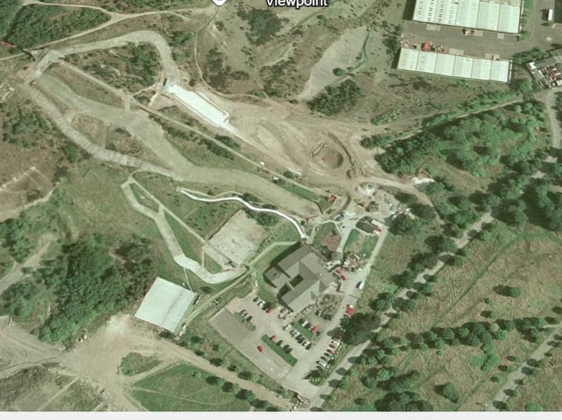
10. Sheffield Ski Village
This picture shows Sheffield Ski Village when it was still a popular visitor attraction. Photo: Google Earth | Google Earth Photo: Google Earth
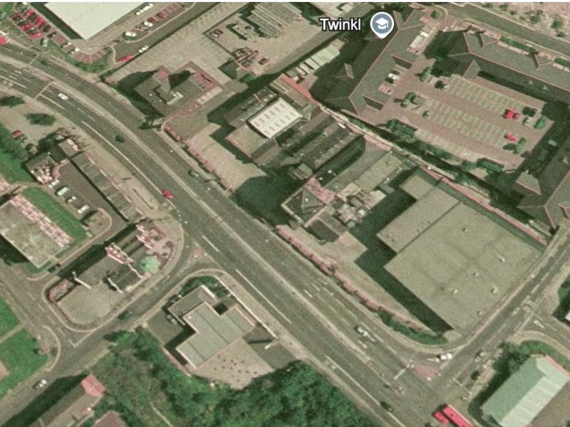
11. Wards Brewery
This was the view of Ecclesall Road, before the demolition of the Wards Brewery, shown from above. Photo: Google Earth | Google Earth Photo: Google Earth
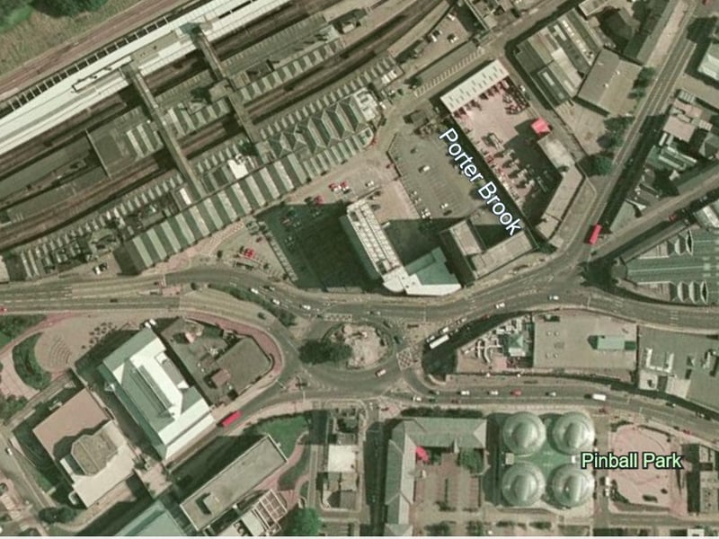
12. Station
This was the area around Sheffield Station in 1999, with buildings including the Nelson Mandela Building (the old Sheffield Poly students union) and Sheaf House, still standing next to the roundabout. Photo: Google Earth | Google Earth Photo: Google Earth