SNOW WARNING sounded in South Yorkshire as temperatures plunge as low as -5 °C
and live on Freeview channel 276
The ‘yellow’ level alert came into force at 3.50pm this afternoon (Friday, January 8) and will stay in place until 8pm.
The Met Office warn that ‘sleet and snow will continue for the next few hours, heavy at times, with some places seeing a further 3-7 cm of snow, on top of what has already fallen’.
Advertisement
Hide AdAdvertisement
Hide AdParts of South Yorkshire have endured wintry showers throughout the day and will see a ‘widespread and severe frost’ form quickly over night ‘with the risk of icy stretches’ as temperatures could drop as low as -5 °C.
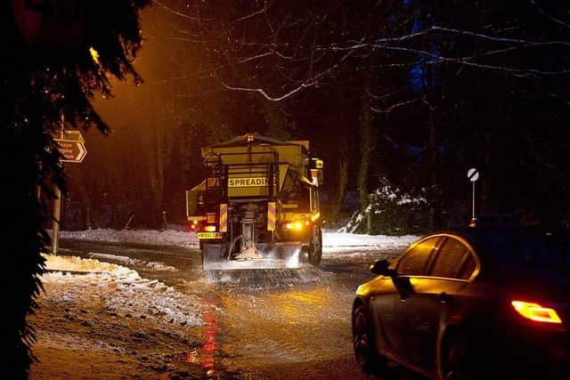

The Met Office added the weather could inflict power cuts as well as travel delays on roads, stranding some vehicles and passengers, and that some rural communities ‘could become cut off’.
Heading into the weekend, the county should wake up to a very cold but fine start on Saturday, with good spells of sunshine. although it will cloud over from the north by the evening. It will still feel cold with frost and ice lingering in shaded areas.
It will turn cloudier on Sunday, after a cold and frosty start. Outbreaks of rain will slowly edge southwards on Monday.
Advertisement
Hide AdAdvertisement
Hide AdIn these confusing and worrying times, local journalism is more vital than ever. Thanks to everyone who helps us ask the questions that matter by taking out a subscription or buying a paper. We stand together. Nancy Fielder, editor.