Weather in Sheffield: Will there be a July heatwave? Met Office announces long range forecast with 'very high temperatures' expected
and live on Freeview channel 276
The last few weeks have been particularly wet, with a number of thunderstorms and heavy downpours putting a dampener on summer celebrations.

Unfortunately more rain is predicted for Sheffield over the next week, with average early-20s temperatures, but the Met Office has now released its long range forecast until August 3 and the future is looking relatively bright.

Advertisement
Hide AdAdvertisement
Hide AdAfter the initial showers predicted over the weekend, and once the yellow weather warning for thunderstorms is lifted next week, ‘drier and warmer weather’ is predicted in the period until July 19.
There is still a potential for showers and isolated thunderstorms across the north, according to the Met Office, but the end of this period is said to be looking ‘mostly fine and dry’. Winds look set to be light and there could even be some ‘very warm’ temperatures, especially in the south of the country.
After this, the heatwave could be on the way as temperatures are expected to continue increasing and be ‘above average’ until at least the beginning of August.
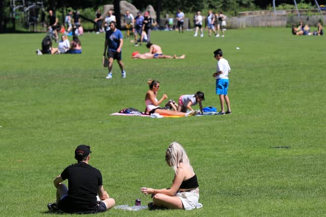
Forecasters have said the fine and dry weather is likely to stay in place through the rest of July, with a low chance of the odd shower throughout this period and some high temperatures on the radar.
Advertisement
Hide AdAdvertisement
Hide AdThe heatwave isn’t quite on the cards just yet, though, as more unsettled weather is still expected.
In the next week temperatures are expected to stay around the 20C/21C mark, with some sunny spells and – bad news for hay fever sufferers – high pollen counts on the way, but more rain is set to fall on the county over the weekend and into next week.
It has been an unpredictable year for weather in Sheffield and throughout the UK, with rain dominating much of the first half of the year and the odd warm spell even in colder months like March.
Across the UK, 2021 marked the 10th wettest May on record, according to Met Office figures.
Advertisement
Hide AdAdvertisement
Hide AdWales also recorded 200.7mm of rain – double the monthly average – making it the wettest May in records dating back to 1862.
But there have also been a number of heatwaves since the May bank holiday, with temperatures even reaching as high as 28C in some areas earlier in the summer.
The long range forecast could be subject to change as the dates draw closer, but for now it looks like it may be okay to start dusting off the BBQs and prepping the sun loungers – just don’t forget to keep your umbrella and raincoat on hand!
Sheffield experienced torrential downpours last weekend, which led to flash flooding in many areas of the city.
Roads were submerged and some homes flooded.
The wet weather was also accompanied by thunder and lightening in many parts of the city.
Comment Guidelines
National World encourages reader discussion on our stories. User feedback, insights and back-and-forth exchanges add a rich layer of context to reporting. Please review our Community Guidelines before commenting.