
Even more rain forecast for Sheffield as flood alerts in place across South Yorkshire
Sheffield is set to be hit by even more rainfall in the coming days, as flood alerts remain in place in around a dozen locations across South Yorkshire.
A total of three flood alerts are in place for Sheffield, with the Environment Agency stating that flooding is possible from the Lower River Don catchment; the Middle River Don catchment and the River Wye in Derbyshire.
In Rotherham, there are two flood alerts in place, also for the Lower River Don catchment and Middle River Don catchment; while there are two in place in Barnsley for the Middle River Don catchment and River Went catchment, and five in Doncaster, for the Lower River Don catchment, Middle River Don catchment, River Went catchment, River Idle in Nottinghamshire and River Trent from Cromwell Weir to Gainsborough.
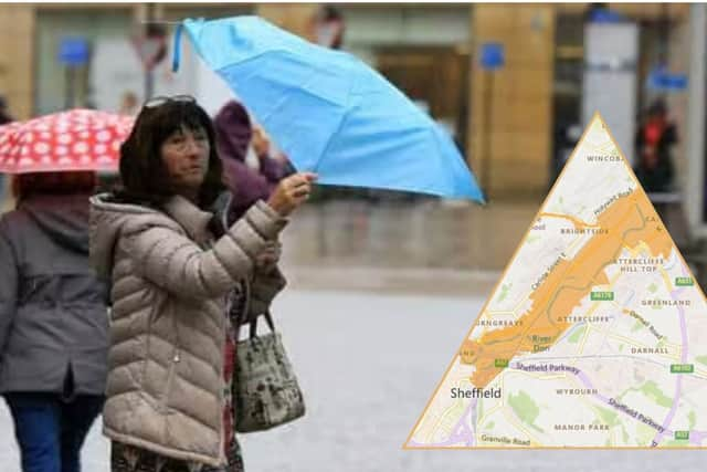

Amid the flood warnings, The Met Office is now forecasting that Sheffield will experience more rainfall over the coming week.
Their forecast for the rest of today (Sunday, January 8, 2026), states: “Any early low cloud, mist or fog soon lifting to allow some bright or sunny spells to develop. Drier in general but occasional showers are likely, particularly in the afternoon. Light winds. Maximum temperature 10 °C.”
Moving into tonight, the Met Office forecast suggest it will be mostly cloudy with showery rain affecting eastern areas with heavy spells at first. Perhaps further showers moving into the north and west later. Minimum temperature 5 °C.
Tomorrow, it is expected to remain largely cloudy with spells of rain though perhaps drier in the afternoon but further rain overnight. Maximum temperature 9 °C.
Their forecast for Tuesday to Thursday states: “Cloudy with further rain and showers on Tuesday along with fresher winds. Winds easing Wednesday but otherwise similar.
“Perhaps snow falling on the Pennines on Thursday.”