Plans for £5m cycle path between Royston and Barnsley town centre submitted

and live on Freeview channel 276
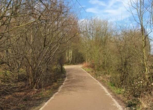
The 3.6km route runs parallel with the A61, crossing the A61 gyratory, heading to Smithies Lane, Bar Lane to Lee Lane and a spur from Bar Lane to Carlton, linking an existing footpath.
BMBC hopes the scheme will “encourage greater use of the dismantled railway line.”


Advertisement
Hide AdAdvertisement
Hide AdThe project is part of the South Yorkshire Mayoral Combined Authority’s Transforming Cities Fund (TCF), of which BMBC has secured more than £13m.
More than £5m has been allocated to this project, which the council hopes will encourage people to cycle and walk, by addressing concerns such as a lack of off-road safe cycle routes, poor quality physical infrastructure that doesn’t facilitate cyclists, and lack of signposted cycle routes.
A planning application was submitted on April 7, and residents can comment on the scheme until May 13.
Application documents state: “BMBC has aspirations to create an uninterrupted active travel link connecting Royston to Goldthorpe via Barnsley town centre, to significantly improve and expand east/west connectivity.
Advertisement
Hide AdAdvertisement
Hide Ad“The site for the proposed shared footpath is currently the route of a disused railway line, which runs for approximately 1600m between Wakefield Road, A61, Athersley, and Lee Lane at Royston.
“The route features an unsurfaced footpath, with restricted access at the southern end caused by a raised infill beneath the A61 highway bridge arch and relatively steep gradients beneath and adjacent to Wakefield Road.”
The proposals include the clearing of trees and vegetation to create a metre-wide verge.