


The aerial images capture lost landmarks from around the city, including the Tinsley towers and the ‘egg box’ town hall extension.
They show how different Sheffield Wednesday’s Hillsborough Stadium looked back then, the Meadowhall area long before the huge shopping centre was built, and Kelham Island before the industrial heartland was transformed into a trendy neighbourhood packed with bars and restaurants.
The Moor and the Peace Gardens in Sheffield city centre feature in this retro photo gallery alongside aerial pictures of suburbs including Gleadless Valley, Burncross, Jordanthorpe and Bradway.

13. Gleadless Valley
An aerial view of the Gleadless Valley and Herdings estates in July 1965, showing (centre) Raeburn Road, Morland Drive, Morland Close and Morland Place | Picture Sheffield/Sheffield Newspapers Ltd Photo: Picture Sheffield/Sheffield Newspapers Ltd
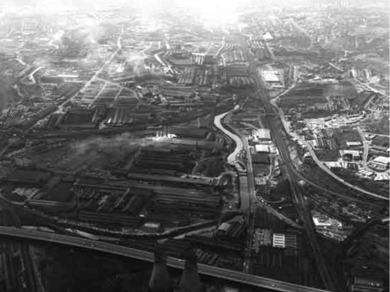
14. Meadowhall and Brightside
An aerial view of Meadowhall and Brightside, seen from Tinsley Viaduct, in 1976, showing (right) Meadowhall Road and (left) Sheffield Road | Picture Sheffield/South Yorkshire County Council Photo: Picture Sheffield/South Yorkshire County Council
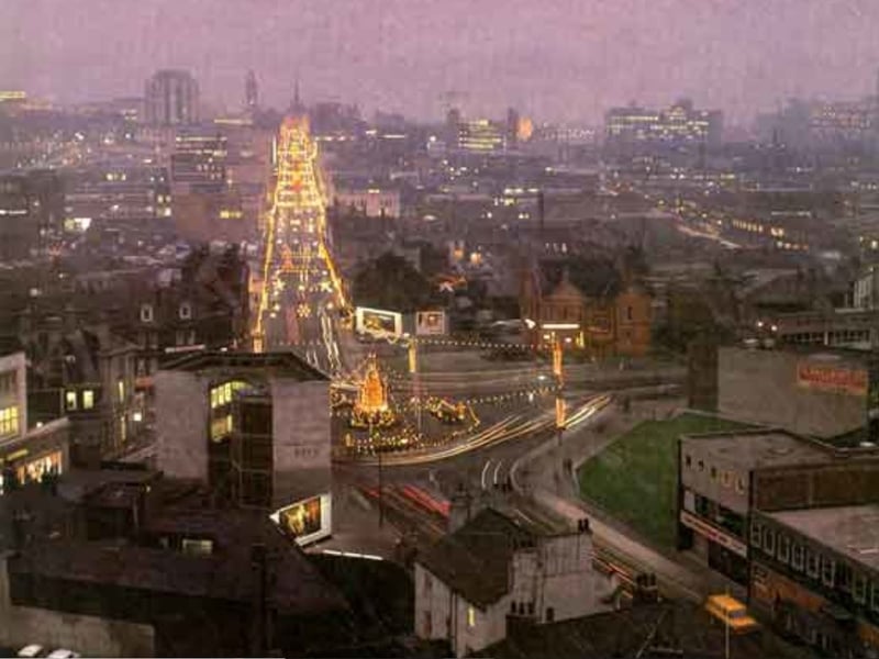
15. The Moor
An aerial view of (top left) The Moor, from Lansdowne Flats, in 1970, showing (centre left) Barclays Bank and (right) London Road | Picture Sheffield/Sheffield Newspapers Ltd Photo: Picture Sheffield/Sheffield Newspapers Ltd
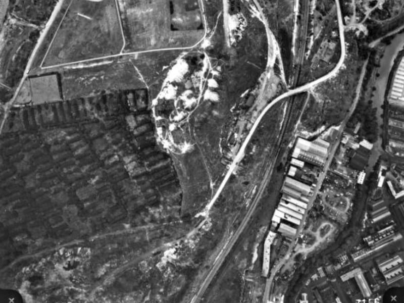
16. Parkwood Springs
Parkwood Springs, Sheffield, in 1971, showing the landfill site in the bottom left corner. The white road is Parkwood Road, which was used to access to the landfill site | Picture Sheffield/Fairey Surveys Ltd Photo: Picture Sheffield/Fairey Surveys Ltd