


The aerial images capture lost landmarks from around the city, including the Tinsley towers and the ‘egg box’ town hall extension.
They show how different Sheffield Wednesday’s Hillsborough Stadium looked back then, the Meadowhall area long before the huge shopping centre was built, and Kelham Island before the industrial heartland was transformed into a trendy neighbourhood packed with bars and restaurants.
The Moor and the Peace Gardens in Sheffield city centre feature in this retro photo gallery alongside aerial pictures of suburbs including Gleadless Valley, Burncross, Jordanthorpe and Bradway.

9. Parson Cross
Looking down at Parson Cross, Sheffield, some time during the 1960s or 70s | Picture Sheffield/Aerial Photographic Company Photo: Picture Sheffield/Aerial Photographic Company
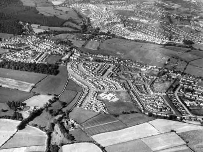
10. Burncross
An aerial view of Burncross, Sheffield, looking towards High Green, in 1972 | Picture Sheffield Photo: Picture Sheffield
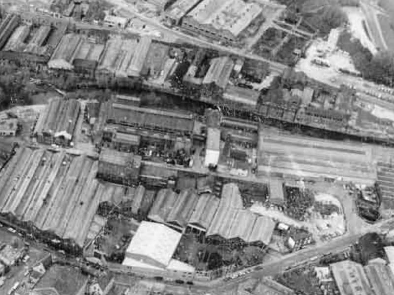
11. Kelham Island
An aerial view of Kelham Island taken some time during the 1960s or 70s, showing (bottom centre) Miba Tyzack Ltd., (formerly W.A. Tyzack and Sons Co. Ltd.), Horseman Works, Green Lane and Alma Street with River Don flowing (top) | Picture Sheffield/Skyviews Aerial Archives Photo: Picture Sheffield/Skyviews Aerial Archives
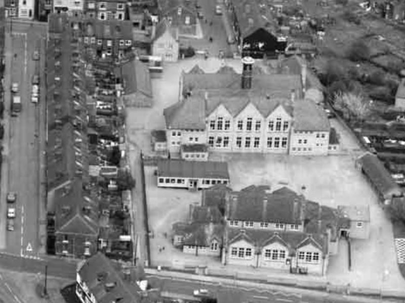
12. Malin Bridge
Malin Bridge Primary School, Dykes Lane, Sheffield, seen from above some time during the 1960s or 70s | Picture Sheffield/Skyviews Aerial Archives Photo: Picture Sheffield/Skyviews Aerial Archives