
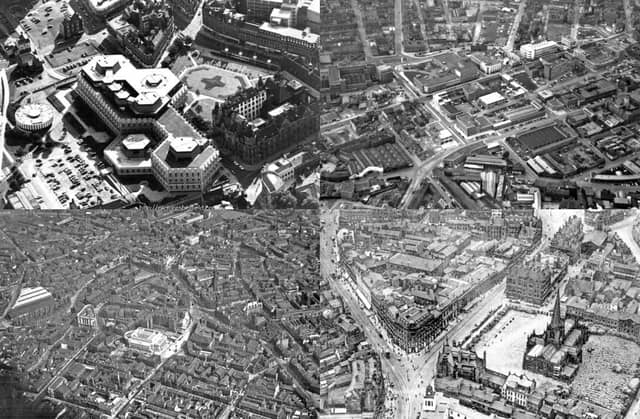

A new hotel, a foodhall and hundreds of apartments are being created as part of the huge Heart of the City II development, while the overhaul of Fargate has just begun, there are plans for what would be the city’s tallest building at the bottom of High Street, and towers are rising at the £300 million West Bar Square site.
But it is not the first time the city centre has undergone huge changes, as shown in these photos, taking you back in time some 100 years from the present day to the 1920s. The construction of Sheffield City Hall, the devastation of the Sheffield Blitz, and the building and subsequent demolition of the Egg Box extension to Sheffield Town Hall are all pictured. Many lost landmarks can be seen in this retro photo gallery, which shows the changing face of streets including The Moor and Fargate over the decades.
All the photos are shared courtesy of Picture Sheffield.
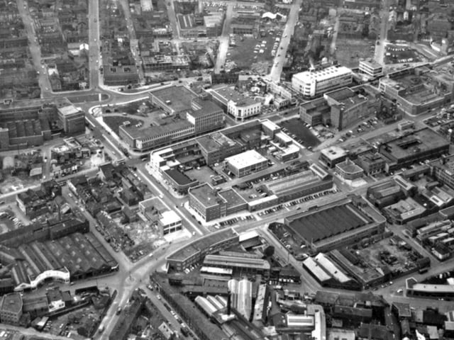
9. The Moor - 1960s/70s
An aerial photo of Sheffield city centre from the 1960s or 1970s, in which The Moor can be seen running through the centre. Also visible are Tenter Street bus depot, centre right, next to Townhead Street (crescent-shaped flats), Sheffield Cathedral, above Townhead Street flats slightly to the right, St Vincent's Church, Solly Street, bottom left, and St Mary's roundabout, bottom left. The building with the white curved entrance above it is Rippon Brothers, car dealers Photo: Picture Sheffield
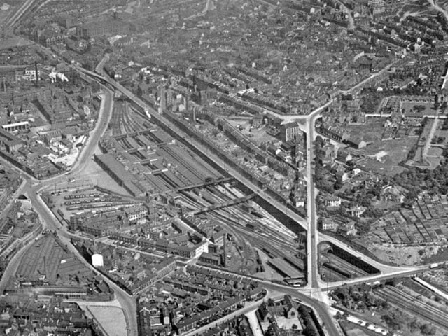
10. Midland Station - 1940s/50s
An aerial view of Sheffield city centre showing Sheaf Street leading to Midland Station, centre, Granville Street behind, Shrewsbury Road leading to South Street Park, Shrewsbury Hospital, extreme right, and Tram Car Depot and Leadmill Road, bottom left. The exact date is unknown but it is believed to have been taken during the 1940s or 1950s Photo: Picture Sheffield
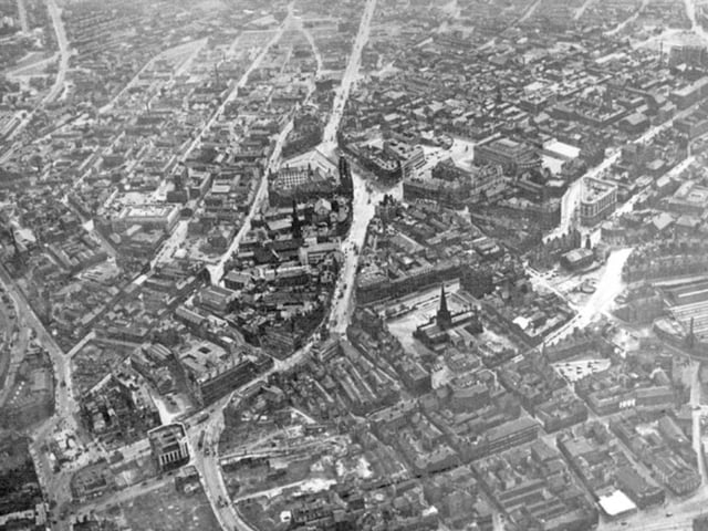
11. After Sheffield Blitz of 1940
Sheffield city centre is pictured here after the Blitz of 1940, which claimed the lives of more than 660 people and caused major destruction. Among the buildings and streets visible are Sheffield Cathedral and Church Street, centre, Fargate, High Street, Angel Street, and West Bar, in the foreground, Sheffield Corporation Tramway and Omnibus Depot, and Tenter Street, right, and Fitzalan Square and Pond Street Photo: Picture Sheffield
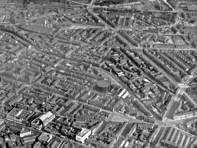
12. The Moor - 1935
This aerial view of Sheffield city centre from 1935 shows The Moor in the foreground, Matilda Street, left, Eyre Street and Arundel Street, centre left, Gasometer and Sylvester Street, St Mary's Road and Charlotte Road, right Photo: Picture Sheffield