
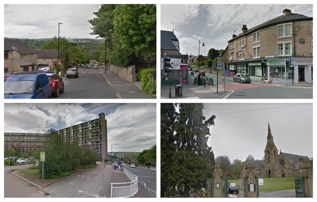

The latest interactive map showing confirmed cases by Middle Super Output Area (MSOA) in England for the week ending on Sunday, July 19, reveals the areas of the country with the highest recent infection rates.
In Sheffield, 11 people tested positive in Burngreave & Grimesthorpe and there were eight confirmed cases in Shiregreen South.
The map only shows the number of cases for areas where there have been three or more in the last week, with data being ‘suppressed’ for other neighbourhoods to prevent people who have contracted the disease being identified.
Last week, Crabtree & Fir Vale had the most confirmed cases in Sheffield, with 11; followed by Highfield & Lowfield, with nine; Burngreave & Grimesthorpe, with eight; and Park Hill & Wybourn, with seven.
Here is the full list of confirmed cases in Sheffield by area for the week ending July 19.
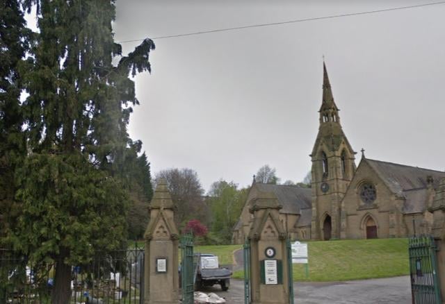
1. Burngreave & Grimesthorpe
There were 11 confirmed cases of Covid-19 in Burngreave & Grimesthorpe during the week ending July 19 Photo: Google
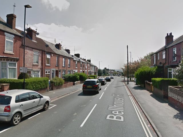
2. Shiregreen South
There were eight confirmed cases of Covid-19 in Shiregreen South during the week ending July 19 Photo: Google
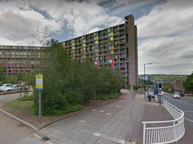
3. Park Hill & Wybourn
There were five confirmed cases of Covid-19 in Park Hill & Wybourn during the week ending July 19 Photo: Google Maps
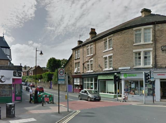
4. Nether Edge
There were four confirmed cases of Covid-19 in Nether Edge during the week ending July 19 Photo: Google