


The pictures, taken from a new feature by Google, show major changes in the city as parts of the Sheffield have been redesigned over the years, clearly showing many long lost buildings.
We have included 20 pictures, which bring back memories of how the city looked, in the gallery below.
It includes a number of the city’s schools as they appeared in 1999. Since then many have been demolished or rebuilt, including Tapton, King Edwards Lower, Waltheof, City, Abbeydale Grange and Myers Grove.
It also shows important parts of the city centre which have been altered beyond recognition, and some of the city’s high rise landmarks which have been flattened.
Take a look at the gallery below and see how the city had changed.
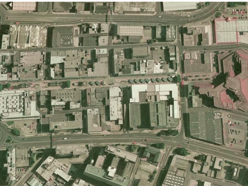
13. The Moor
This picture shows The Moor as it appeared in 1999, complete with all the market stalls. The Moor is the street running in the middle of the picture. Photo: Google Earth | Google Earth Photo: Google Earth
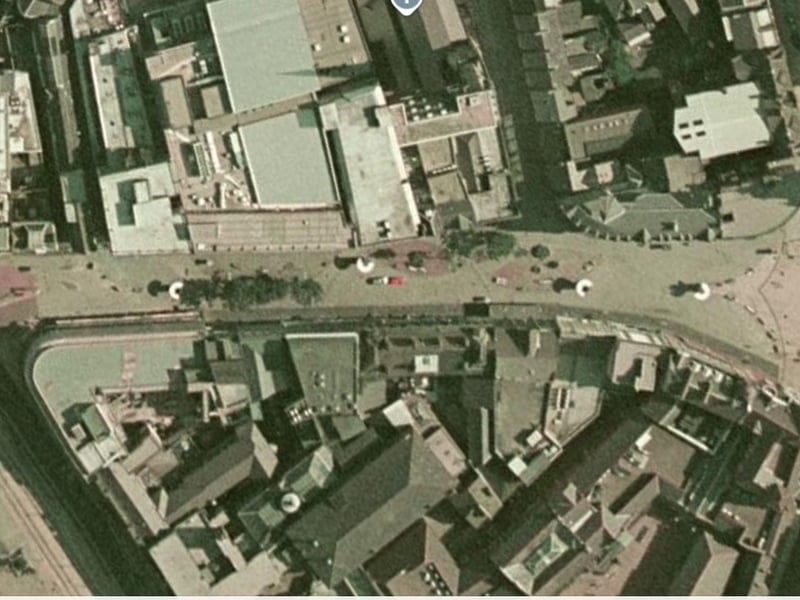
14. Fargate
This was how Fargate appeared from a satellite view in 1999. Photo: Google Earth | Google Earth Photo: Google Earth
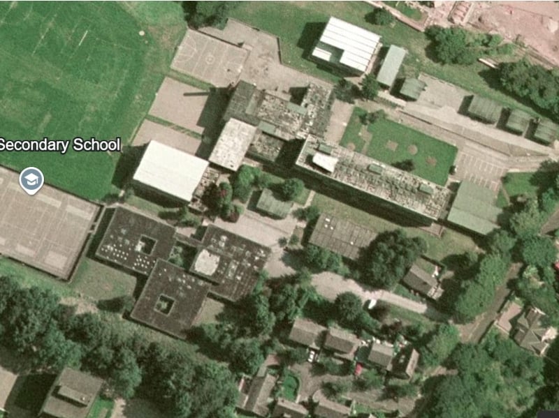
15. Tapton School
This was how the original Tapton School building appeared on Darwin Lane, before it was demolished and replaced with a new building. Google Earth | Google Earth Photo: Google Earth
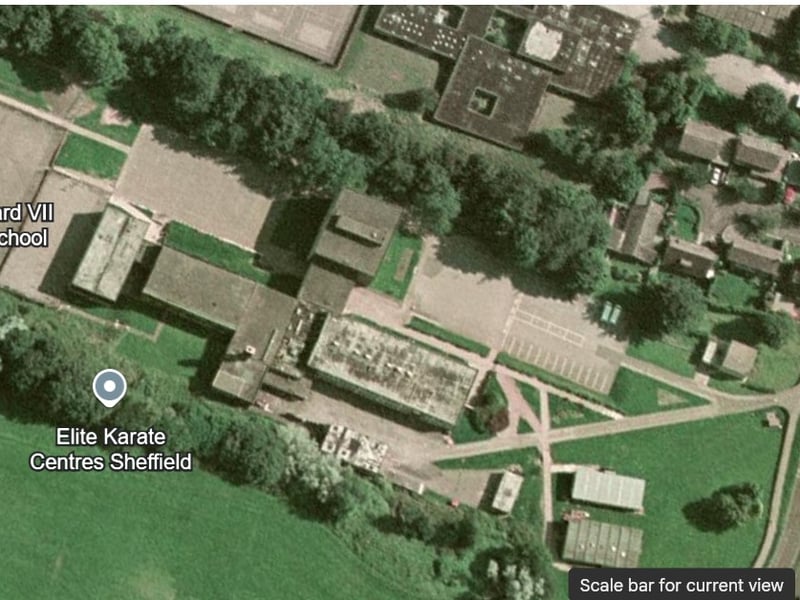
16. King Edward VII lower school
This was how the original King Edward VII lower school building appeared on Darwin Lane, before it was demolished and replaced with a new building. Google Earth | Google Earth Photo: Google Earth