When Sheffield valley was vital hub of industry


The name is believed to come from the medieval French word ‘rive’, which means river bank or lake shore.
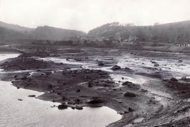
According to the excellent Timewalk Project website (sheffieldtimewalk.wordpress.com),the River Rivelin “rises high on the Hallam Moors and travels west until it joins the River Loxley then on into the Don.
Advertisement
Hide AdAdvertisement
Hide Ad“The nature trail created in 1967 runs along the bottom of the valley which has been carved out of the sandstone and shale by the river over the last 300 million years.
“The gentler slopes of the valley have been used for agriculture, leaving woodland on the steeper slopes and by the river.”
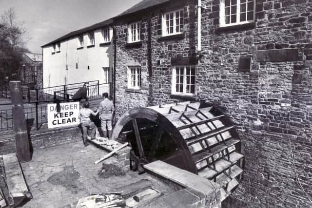
The river was used to turn many waterwheels that powered the steel and cutlery industries, forge, paper mills and corn mills.
A three-mile stretch of the lower Rivelin valley had 20 watermills and 21 mill dams, working from the 16th to 20th centuries.
Advertisement
Hide AdAdvertisement
Hide AdIt is reckoned to have been the densest set of mills in the country.
Eventually, water power gave way to steam and larger-scale production moved elsewhere in Sheffield.
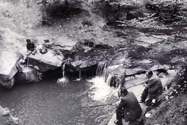
However, the change did mean that many beautiful wooded areas that generations of Sheffielders have enjoyed as a popular walking area have survived.
The area’s natural beauty and industrial history have long been protected and preserved by the hard-working volunteers of the Rivelin Valley Conservation Group.
Advertisement
Hide AdAdvertisement
Hide AdThey devised a walk taking in all the old wheels and a leaflet can be downloaded from their website at www.rivelinvalley.org.uk/downloads/rivelin_walk.pdf
It’s a fascinating read and stretches from Grogram Wheel at Malin Bridge to Uppermost Wheel.
According to the leaflet, Grogram Wheel was nicknamed the Groggy locally and used for cutlery, then by the huge Mousehole forge complex.
The Groggy was apparently the only wheel in the valley to suffer damage caused by the great Sheffield flood of 1864.
Advertisement
Hide AdAdvertisement
Hide AdThe last wheel was at Uppermost Mill, operating from 1751 to 1885, when it was abandoned and demolished.
The conservation group produced a book called Walking the Rivelin, which has recently been updated and is a mine of information for anyone seeking to learn more about the subject.
The book also has many lovely old photographs.
It’s available from many local outlets in the Rivelin Valley, city museums and bookshops.
It can also be ordered online from www.rivelinvalley.org.uk