
Full Sheffield hour-by-hour weather forecast as 12-hour snow warning set to begin

The forecast for Tuesday in full...
A weather warning for snow is in place over large parts of Sheffield on Tuesday morning - but is the white stuff actually in the forecast?
The yellow warning covers most of Sheffield, as well as much of the north and west of England, and comes into force from midnight on Tuesday, November 17 and runs until 11am the same day.
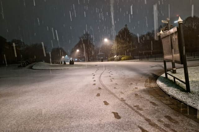

Experts at the Met Office say there is a “high” (50-75 per cent) chance that snow falls on high ground as a band of rain is expected to head northwards across the UK through Monday night and Tuesday morning.
A statement on the Met Office website says: “A band of rain is expected to head northwards across the UK through Monday night and Tuesday morning.
“As it encounters colder air across the highlighted region, it is likely to turn to snow for a time, mainly affecting locations at 100 m altitude or higher. Any snow falling below this level will more likely be temporary and quickly melt.
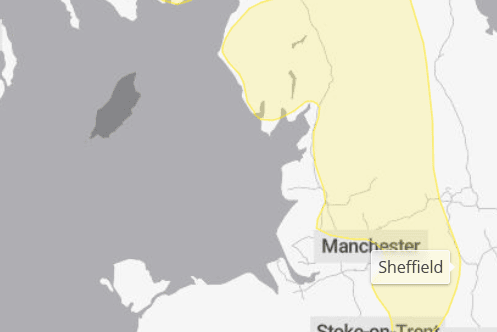
“Where snow does accumulate, depths of 1-5 cm are likely; some locations above 300-400 m could see 5-15 cm.”
Here’s the hour-by-hour forecast for Sheffield on Tuesday, November 17:
12am: Sleet shower 2°
1am: Sleet shower 2°
2am: Sleet shower 2°
3am: Heavy rain 2°
4am: Heavy rain 2°
5am: Heavy rain 2°
6am: Heavy rain 3°
7m: Heavy rain 4°
8am: Heavy rain 4°
9am: Heavy rain 4°
10am: Light rain 5°
11am: Light rain 5°
12pm: Light rain 5°
1pm: Light shower 6°
2pm: Light shower 7°
3pm: Light shower 8°
4pm: Light shower 8°
5pm: Light shower 8°
6pm: Light shower 8°
7pm: Light shower 8°
8pm: Light shower 8°
9pm: Light shower 7°
10pm: Light shower 7°
11pm: Light shower 7°