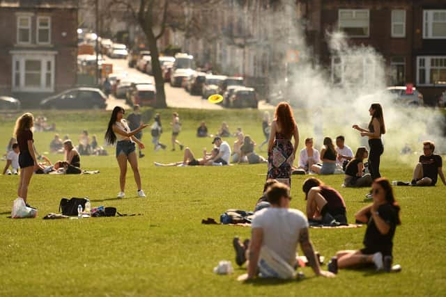
Sheffield to sizzle in 26C sunshine TODAY – but this is when four days of thunderstorms will start
and live on Freeview channel 276
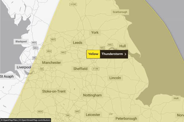
Sounding a yellow weather warning across South Yorkshire and the East Midlands, until Saturday forecasters say we can now expect to be battered by lightning and downpours, well into this week.
Some places are likely to see thunderstorms late Wednesday through to Friday with the potential for travel disruption and flooding.
Advertisement
Hide AdAdvertisement
Hide AdResidents are urged to be on the alert as the storms could cause flooding, powercuts, and damage to buildings in some areas.

Motorists should be poised for ‘dangerous’ driving conditions and there could be delays to bus and rail services.
Today:
Largely dry and sunny, and very warm in the south and east. Cloudier with patchy light rain and drizzle on hills but still warm in the northwest. Winds easing. Maximum temperature 26 °C.
Tonight:
Mostly dry this evening with hazy sunshine. Becoming increasingly cloudy from the south overnight as heavy thundery showers move north, lasting until dawn. Minimum temperature 10 °C.
Thursday:
Advertisement
Hide AdAdvertisement
Hide AdThe area of heavy thundery showers with hail and gusty winds will continue to move north on Thursday morning. Becoming mainly dry but probably cloudy in the afternoon. Warm. Maximum temperature 18 °C.
Outlook for Friday to Sunday:
Further bands of heavy thundery showers will move northwards at times during Friday and Sunday, but with dry and occasionally sunny periods initially on Friday, then Saturday afternoon.