
Sheffield snow: Amber weather warning for heavy snow and sleet as Storm Goretti heads for UK

A sweeping band of snow, high winds and heavy rain is heading for the UK with an amber weather warning in place for Sheffield.
Storm Goretti is brewing in the Atlantic and forecast to arrive in South Yorkshire by around 6pm.
Sheffield is predicted to face significantly heavy snow fall and sleet overnight, at times peaking above 4mm an hour.
Here is the forecast for Sheffield ahead of Storm Goretti.
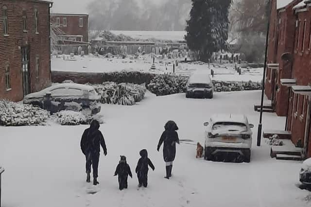

Storm Goretti forecast for Sheffield, Thursday, January 8
The Met Office says Storm Goretti will begin as sweeping rain in the south and south west, with snow building on higher ground - such as the Peak District - from around 6pm.
Sheffield as a can expect rain from 6pm, but this is expected to develop into heavy snow from around 8pm, starting with the western districts.

The snow will be at its heaviest just before midnight, peaking above 4mm an hour, and will linger over the city until around 4pm.
Parts of the Peak District are likely to be in for more than 20cm of accumulation, and upwards of 10cm in parts of Sheffield.
Medium showers and hail could follow, and it isn’t known yet if the wet and sleet conditions will be enough to prevent the snow from settling.
South Yorkshire can expect scattered showers and snow fall on Friday as well as Storm Goretti tails off towards the east.
Amber weather warning in Sheffield
An amber weather warning for heavy snow predicting ‘very likely, high impact’ disruption is in place in Sheffield between 8pm today (January 8) and 9am on Friday.
Travel on roads and trains is likely to be affected, and some passengers could be stranded. It is safer not to drive during the weather warning.
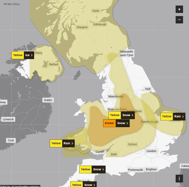
Cancellations on air and rail travel is also likely.
Rural communities and areas of the Peak District are likely to become cut off.
Power cuts and impacts on services such as mobile phone coverage are also possible.