Sheffield braced for bad weather misery that may not pick up until end of June
and live on Freeview channel 276
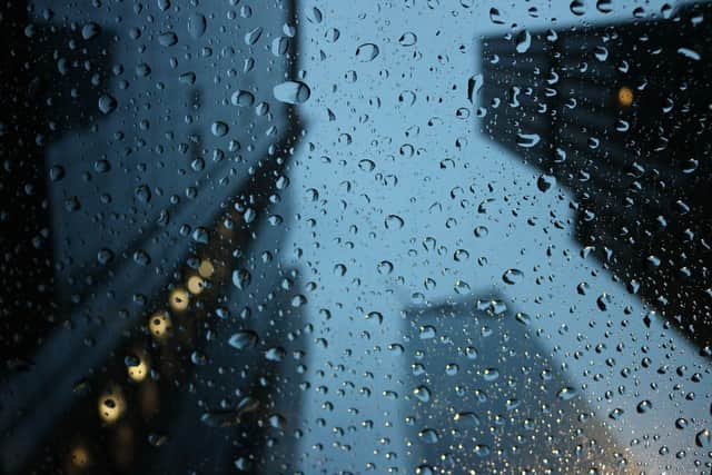
The heatwave has officially come to an end as cloud and outbreaks of rain move into Yorkshire from the north tonight (Tuesday, June 2).
The ‘above average’ temperatures we’ve seen this previous week could plummet as much as 10 or 15 degrees lower in some areas as the rain persists into Wednesday (June 3).
Advertisement
Hide AdAdvertisement
Hide AdFurther cloud and rain is forecast into the weekend, with downpours forecast on Saturday afternoon continuing into Sunday.
And things may not start to pick up until the end of June, the Met Office warns.
A long range weather forecast on their website reads: “Through the middle of June, it will stay rather changeable with showers and longer spells of rain continuing in the north and east.
“However, towards the latter part of June, it will start to become more widely settled with longer and drier periods.
Advertisement
Hide AdAdvertisement
Hide Ad“Temperatures should be close to or a little below average for the majority of June, but towards the end of the month they could trend towards average.”

The Met Office said that May was the sunniest calendar month on record.
The weather forecaster also said it had been the driest May on record in England and the eight warmest Spring on record for the UK.