More snow forecast for Sheffield on Sunday
and live on Freeview channel 276
Snow and ice may cause travel disruption again in South Yorkshire this evening (January 22) and early Saturday (January 23) say forecasters
A yellow weather warning is in place across the city as temperatures will fall to 2°C tonight, as the Met Office expect icy patches to form on untreated roads, pavements and cycle paths, increasing the likelihood of accidents.
Advertisement
Hide AdAdvertisement
Hide AdDrivers are encouraged to only travel for essential reasons and to plan for additional time to complete journeys as ice and snow will create dangerous road conditions.
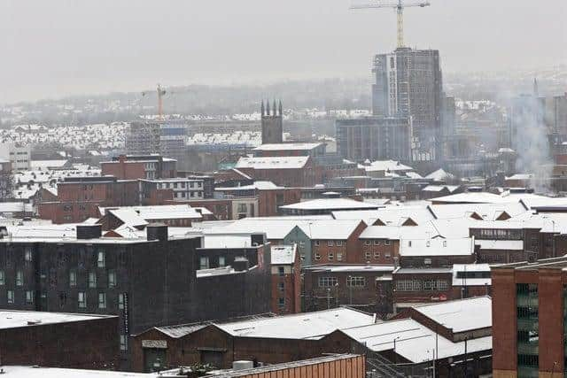

The snow and ice warning comes as Storm Christoph pulls away from the UK and rainfall starts to ease.
It is just a over a week since heavy snowfall forced schools to close and roads to be shut in Sheffield.
Cold weather will continue on Saturday with cloud cover throughout the day and temperatures staying low, ranging from 0°C to 3°C.
Advertisement
Hide AdAdvertisement
Hide AdThe snow showers are expected to bring between 1cm and 3cm of snowfall in places, which will accumulate at low levels mostly across South Yorkshire,North Yorkshire, West Yorkshire and the rest of northern England, alongside Scotland and Northern Ireland.
However, around 5cm to 10cm of the white stuff could fall in higher areas across the country, while clear skies between snow showers will also bring the threat of ice.
Sunday will start overcast, with a wintry system pushing in around noon, clearing into the evening.