This is when snow is set to hit Sheffield as temperatures plummet


Saturday is set to see a mixture of light rain, sunshine and cloud, with a maximum temperature of 9C and a minimum temperature of 1C.
Sunday will then see temperatures plummet, with a maximum daytime temperature of 5C.
Advertisement
Hide AdAdvertisement
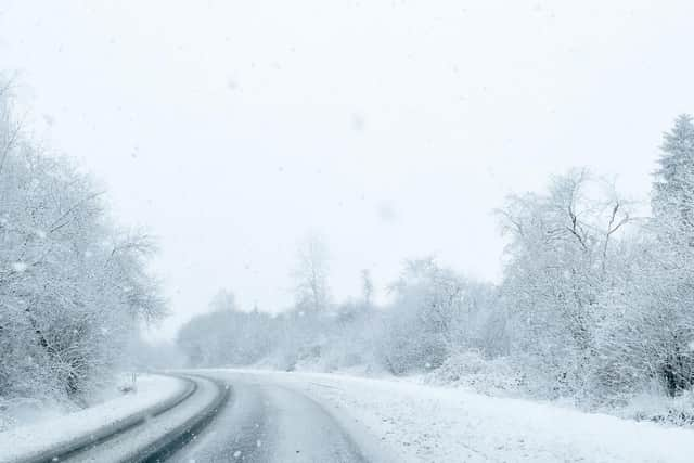
Hide AdAccording to the Met Office forecast for Sunday morning in Sheffield, heavy rain is set to hit during the early hours, with sleet between 3am and 6am.
This will then turn to “heavy snow” from 6am until 9am, before turning back to sleet until around 3pm.
Light rain will then hit throughout the rest of the afternoon and evening, with the temperature dipping to 3C by 6pm.
The Met Office forecast for Yorkshire explains that Saturday will be “Cloudy during the morning with outbreaks of rain and some hill snow.”
Advertisement
Hide AdAdvertisement
Hide AdThe outlook for Sunday to Tuesday explains that there will be “Rain and hill snow Sunday morning, windy with blustery wintry showers in the afternoon. Breezy with sunny spells and isolated showers on Monday. Wet and windy on Tuesday.”
Long-term forecast
Looking further ahead, the long-term forecast for Tuesday 12 March to Thursday 21 March said: “Tuesday and Wednesday will be unsettled. Most likely, rain will be followed by brighter but colder showery conditions.
“Rain will be heaviest in the north and west and it will be cold enough for snow over northern hills, perhaps even to lower levels here at times.
“It will be windy for all, with gales or severe gales at times. Similar unsettled weather will continue though the rest of the week.
“Temperatures will vary around average for the time of year in the south, but it will stay rather cold overall in the north.”