These areas of Sheffield are most likely to see snow this weekend


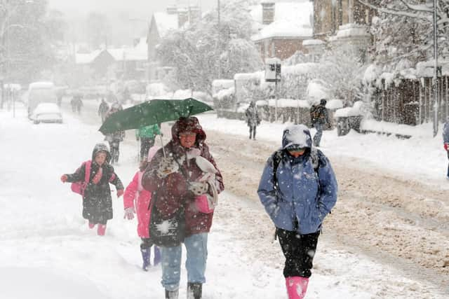
Some areas of the UK could get up to eight inches of snow as an area of wet weather bumps into cold air during tomorrow.
Gritting teams will be out in force across Sheffield today and tomorrow as the city braces for snow and ice.
Advertisement
Hide AdAdvertisement
Hide AdIt will remain cold during today and overnight and tomorrow an area of rain will move across the country and as it bumps into the cold air it could fall as snow in places, partiuclarly over high ground.
Precipitation falls as snow when the air temperature is 2C or lower. In addition to this differences in elevation (the altitude above sea level) bring a variety in temperatures '“ the higher you are the cooler the air temperature. These factors combined makes it difficult for weather forecasters to accurate predict exactly where and whensnow will fall.
Such is Sheffield's geography '“Â the lowest point in Sheffield (near Meadowhall) is just 75ft above sea level whereas the highest point (High Stones) is 1,800ft above sea level '“Â that at time some parts of the city get snow while others have sleet or rain.
The following areas of Sheffield are more than 600ft above sea level and the places most likely to see some snow this weekend:
Bents Green
Bolsterstone
Crookes
Crosspool Dore Fulwood
Gleadless Town End
Greystones
High Bradfield
Lodge Moor
Manor Top
Meadowhead Norton
Norton Lees
Parkhead
Ringinglow
Totley
Walkley
Whirlow Â
Â