
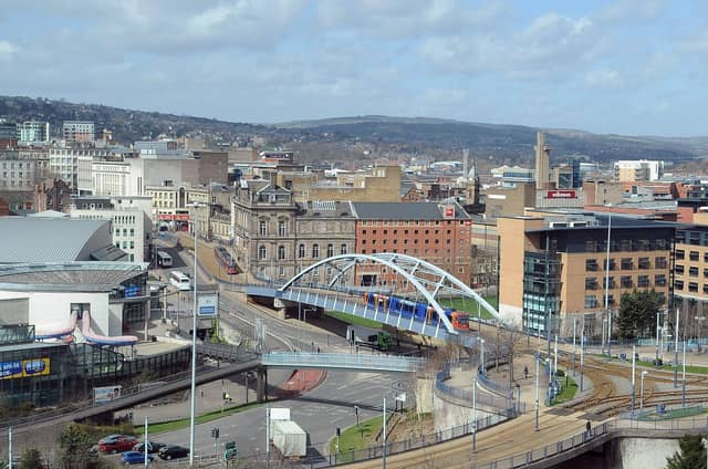


Officials have measured the hardest up places in Sheffield - and these 21 neighbourhoods were the areas they found to be the most deprived.
The Ministry of Housing Communities and Local Government has drawn up an index of deprivation, lookiing at the city.
The gallery below shows the 21 places which were judged most deprived in relation to low income.
The Indices of Deprivation (IoD) 2025 Income Deprivation figure measures the proportion of the population in an area experiencing deprivation relating to low income. The definition of low income used includes people who are dependent upon the state for some form of means-tested benefit, and includes both those people that are out-of-work, and those that are in work but who have low earnings and are claiming a means tested benefit.
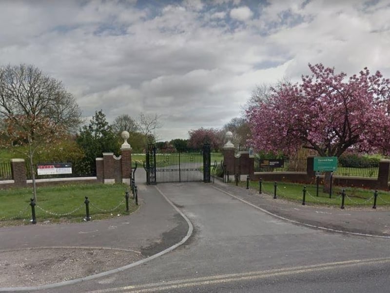
9. Shiregreen South - 14th
Shiregreen South was rated at 46.33% in the 2025 Ministry of Housing Communities and Local Government's index of deprivation, the 14th highest figure in Sheffield. Photo: Google | Google
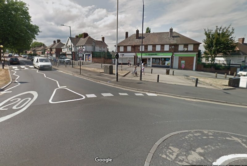
10. Shiregreen North - 13th
Shiregreen North was rated at 48.42% in the 2025 Ministry of Housing Communities and Local Government's index of deprivation, the 13th highest figure in Sheffield. Photo: Google | Google
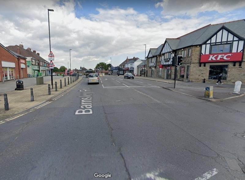
11. Sheffield Lane Top & Longley Park - 12th
Sheffield Lane Top & Longley Park was rated at 49.27% in the 2025 Ministry of Housing Communities and Local Government's index of deprivation, the 12th highest figure in Sheffield. Photo: Google | Local Library
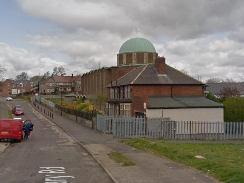
12. Woodthorpe - 11th
Woodthorpe was rated at 49.35% in the 2025 Ministry of Housing Communities and Local Government's index of deprivation, the 11th highest figure in Sheffield. Photo: Google | Local Library