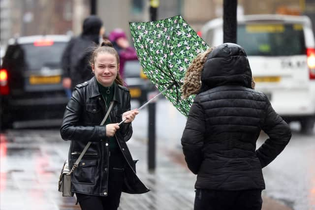
Sheffield weather: How is Storm Wanda forecast to affect South Yorkshire this week?
and live on Freeview channel 276
What is Storm Wanda?
Storm Wanda is a tropical storm that formed a cyclone over the Atlantic Ocean.
It caused flooding and power outages for the north-east coast of the United States in late October and is now moving across the Atlantic towards Britain.


Advertisement
Hide AdAdvertisement
Hide AdHowever, by the time it reaches the British Isles, it is expected to weaken and be downgraded to a non-tropical storm. It is not expected to cause any major troubles this side of the Atlantic, although a yellow weather warning has been issued for northern Scotland.
Will Storm Wanda hit Sheffield?
Storm Wanda is expected to arrive on Tuesday and Wednesday (November 9 and 10).
However, the Met Office is not forecasting anything dramatic for Sheffield’s weather as a result.
In fact, the rain forecast for both Tuesday and Wednesday does not rise above a 10 per cent probability for the whole city on both days.
Advertisement
Hide AdAdvertisement
Hide AdIn contrast, BBC Weather predicts the city will face some scattered showers on Wednesday between 9am and 1pm, with no impact on Thursday.
Wind speeds are also not expected to rise above 10 mph at most.
Temperatures are expected to sit at around 14C on Tuesday and drop to 11C on Wednesday.
It means current forecasts expect the storm to pass Sheffield without much more than some fleeting rain.
Advertisement
Hide AdAdvertisement
Hide Ad“On Sunday night Wanda is expected to weaken and be downgraded to a non-tropical feature,” wrote a spokespeson for the Met Office.
"What is left of this storm will become embedded within a larger Atlantic frontal zone. This frontal zone moves across the UK on Tuesday and Wednesday.
"This Atlantic frontal system is not expected to have too great an impact on UK weather but could lead to some of rainfall in some places, and potentially some weather warnings, although the timing and track of the system is still uncertain."
Another large weather front is expected to reach the UK on Thursday evening and Friday morning. Currently, this is also forecast to largely miss Sheffield.
Comment Guidelines
National World encourages reader discussion on our stories. User feedback, insights and back-and-forth exchanges add a rich layer of context to reporting. Please review our Community Guidelines before commenting.