
Thousands of Rotherham homes to benefit from flood protection after back-to-back storms

Thousands of homes across Rotherham are set to benefit from new and upgraded flood defences, as the council pushes ahead with major flood alleviation schemes following a series of severe storms.
Council officers told a scrutiny meeting that flood risk management work has intensified after Storm Babet, Storm Henk and Storm Claudia, which together triggered more than 80 flooding reports across the borough.
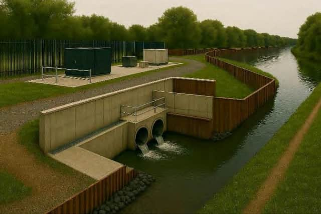

During Storm Claudia, which took place in November 2025, river levels came within less than a metre of flood stage, with the River Don peaking just 800mm below flood level.
Despite avoiding widespread river flooding, surface water remained a major issue in low-lying residential areas, including Catcliffe, Treeton and parts of Maltby.
In Catcliffe, temporary pumps were deployed during Storm Claudia to manage surface water flooding. The council is now progressing plans for a permanent pumping station.
The scheme also includes the replacement of Treeton Lane Bridge, which officers said restricts river flows during extreme weather. Hydraulic modelling shows that replacing the bridge would reduce flood risk to 167 homes and 14 businesses in a one-in-200-year storm event.
Following Storm Babet in October 2023, 91 properties across the borough received flood protection measures, including flood doors, barriers and air-brick covers.
While government funding covered £5,000 per home, the council said it had to step in financially after costs exceeded the grant, a move officers said was necessary to ensure homes were fully protected.
Several long-running flooding hotspots have already seen permanent fixes.
In Maltby, new highway drainage and additional gullies were installed at Dale Hill Close after repeated flooding to bungalows caused by overloaded sewers. The eight-week scheme separated highway drainage from the wider sewer network, significantly reducing flood risk.
At Waleswood Camp Site, 2km of underground drainage pipework has been installed to prevent waterlogging that previously rendered large sections of the site unusable.
And in Firbeck, new drainage and earth bunding now hold flood water back in surrounding fields, preventing it from reaching homes and highways.
The council confirmed a list of new drainage schemes planned for 2024/25, including works in Swinton, Aughton, Meadow Bank and Wath, all aimed at reducing flooding to homes or busy routes.
The schemes include a new highway drain on Rockingham Road in Swinton, drainage renewals on Main Street in Aughton and Meadow Bank Road, and bunding and one-way valves on Recreation Road in Wath to help contain flood water from Brook Dyke.
Meanwhile, the Whiston Brook Flood Alleviation Scheme, one of the borough’s largest, is due to enter construction in January 2026, following completion of the tender process.
To improve response times, 10 CCTV cameras have been installed at known flooding hotspots, providing live monitoring during storms.
The council has also mapped 48,752 road gullies, with a public dashboard due to go live next year showing where and when drains are being maintained, a move aimed at increasing transparency after repeated public complaints.
Andy Saxton, Highway Asset and Drainage Manager, told yesterday’s (Jan 27) improving places select committee meeting that the council is moving to a ‘risk based approch’ for gully cleaning, adding that RMBC ‘do set out to clean every gully once a year’.
“In reality, we cleanse some every moth because they’re flooding hot spots, or they get more easily blocked. Others when we actually check them, they don’t need cleansing for a couple of years.”