
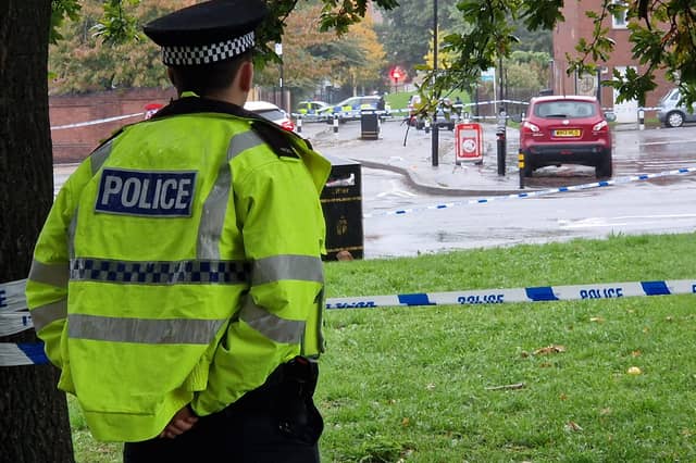


The figures are from Police UK figures representing the period from March 2025 until February 2026.
The numbers show reports of crime of all descriptions to South Yorkshire Police over that period in each of 70 areas into which the city has been divided up into.
In each case, the figure used in the ranking is the number of crimes per 1,000 residents in that neighbourhood. But we have also included the figure for the overall number of robberies in that neighbourhood.
The Star has taken those figures and created a gallery showing which parts of the city those figures suggest you are most likely to fal victim to a crime.
The city is divided up into 70 neighbourhoods in the figures which form the basis of the rankings. The figures are based on where the robberies occurred, not where they were reported from.
The photos are for illustrative purposes only and figures do not refer to any individual buildings or streets.
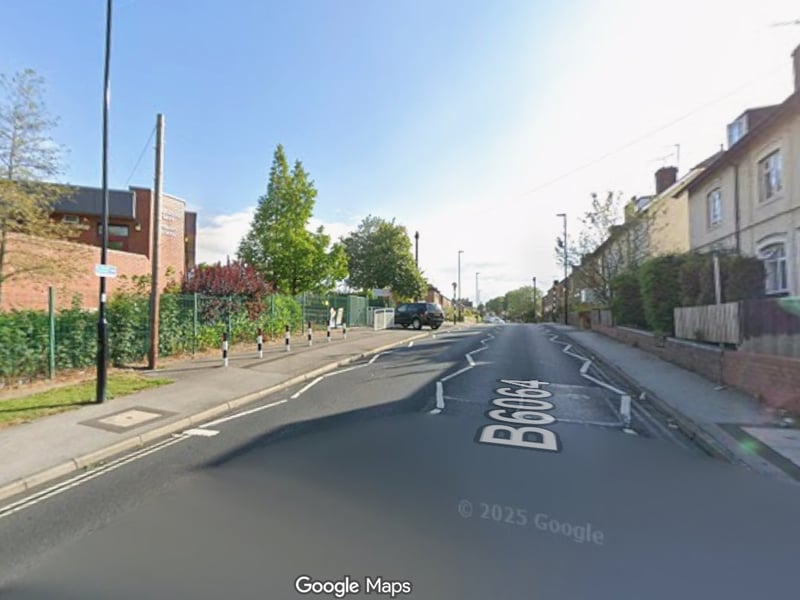
13. Woodhouse West - ninth
Woodhouse West saw 163.2 reported crimes per 1,000 residents from March 2025 to February 2026, the ninth highest figure in Sheffield. The total number of incidents in that neighbourhood was 995. Photo: Google | Google Photo: Google
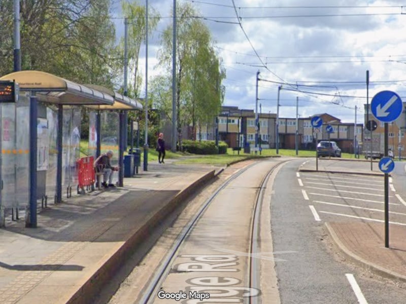
14. Arbourthorne - eighth
Arbourthorne saw 172.6 reported crimes per 1,000 residents from March 2025 to February 2026, the eighth highest figure in Sheffield. The total number of incidents in that neighbourhood was 1006. Photo: Google | Google
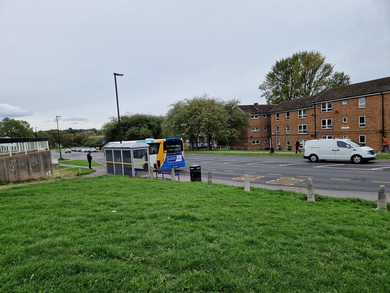
15. Batemoor & Jordanthorpe - seventh
Batemoor & Jordanthorpe saw 173.5 reported crimes per 1,000 residents from March 2025 to February 2026, the seventh highest figure in Sheffield. The total number of incidents in that neighbourhood was 1,163. Photo: Google | National World
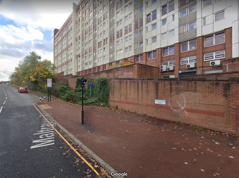
16. Park Hill & Wybourn - sixth
Park Hill & Wybourn saw 175.8 reported crimes per 1,000 residents from March 2025 to February 2026, the sixth highest figure in Sheffield. The total number of incidents in that neighbourhood was 2,343. Photo: Google | Local Library