



The Star has put together a gallery showing the 21 neighbourhoods which have the lowest figures for vehicle crime in the city.
We have based them on Local Insight figures, recognised by Sheffield Council, which are based on police crime figures, for each of 70 neighbourhoods into which the city is divided into.
You can see the full list below, ranked from the 21st lowest figure, to the lowest in the city as a whole.
The figures look at incidents including both thefts of the cars or vehicles themselves, and incidents of thefts of items from cars.
The figures are for the 12 months from December 2023 to November 2024, and show both the total number of reports of neighbourhood-level incidents of vehicle crime, and the number as a rate per 1,000 residents.
We have ranked the figures by the number of reports per 1,000 residents. If those two neighbourhoods were equal, we took into account the overall number for the neighbourhood.
The figures are based on where the incidents occurred, not where they were reported from.
The photos are for illustrative purposes only and figures do not refer to any individual buildings or streets.

13. 10th: Sandygate & Crosspool
10th: Sandygate & Crosspool had 4.1 neighbourhood-level incidents of vehicle crime per 1,000, residents and a total of 26 overall. Photo: Google | Google Photo: Google
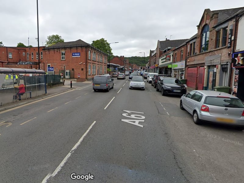
14. Ninth: Woodseats
Ninth: Woodseats had 3.8 neighbourhood-level incidents of vehicle crime per 1,000, residents and a total of 30 overall. Photo: Google | Google Photo: Google
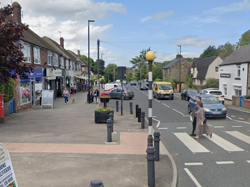
15. Eighth: Totley & Bradway
Eighth: Totley & Bradway had 3.7 neighbourhood-level incidents of vehicle crime per 1,000, residents and a total of 29 overall. Photo: Google Photo: Google Maps
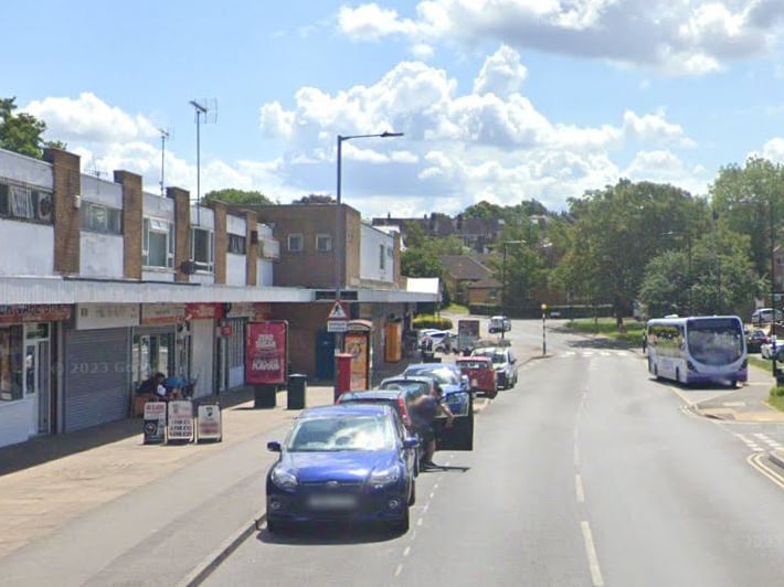
16. Seventh: Ecclesfield South
Seventh: Ecclesfield South had 3.4 neighbourhood-level incidents of vehicle crime per 1,000, residents and a total of 25 overall. Photo: Google | Google