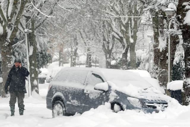
BLIZZARD ALERT: Snow warning for Sheffield upgraded to second highest level


Fierce Siberian winds could lead to blizzard conditions and drifting of snow with up to six inches of snow falling in places.
Advertisement
Hide AdAdvertisement
Hide AdThe warning - which is in effect between 4pm Saturday until 9am Sunday - states: "Snow showers are expected to become more frequent through Saturday evening and night with icy patches also developing on some untreated roads, pavements and cycle paths.
"Strong easterly winds will lead to some temporary blizzard conditions and drifting of snow.
"Travel delays on roads are likely, stranding some vehicles and passengers. Some delays and cancellations to rail and air travel are likely.
Advertisement
Hide AdAdvertisement
Hide Ad"There is a chance that some rural communities will be cut off. Some injuries from slips and falls on icy surfaces are expected."
The Met Office's chief forecaster added: "Snow accumulations will be variable across the area as showers are expected to organise into bands.
"Whilst some areas will receive relatively small amounts of snow, narrow bands of 5-10 cm of snow are likely, with a chance of 15 cm over higher ground.
"Strong easterly winds will result in some drifting of lying snow, and lead to a significant wind chill. Showers are expected to become more isolated through Sunday morning."