

The fascinating aerial images capture the school buildings, playgrounds and playing fields you may remember from the decade.
Some of the schools remain virtually unchanged more than two decades later but others have closed or changed considerably in the intervening years.
The pictures also show how the streets around these primary and secondary schools have altered over time.
You may be able to plot your walk to and from school, or spot landmarks from the air which have since disappeared.
The areas pictured include Grimesthorpe, Shirecliffe, Hillsborough, Southey Green and Gleadless Valley, among other places.
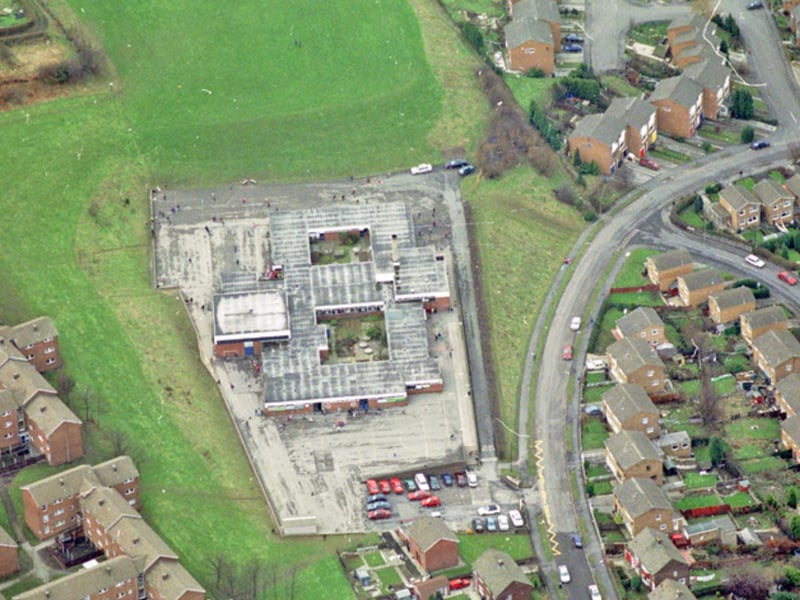
1. Whiteways Middle School
Whiteways Middle School, on Whiteways Road, Grimesthorpe, Sheffield, seen from above in February 1996 | Picture Sheffield Photo: Picture Sheffield

2. Springfield Junior and Infant School
Broomhall, Sheffield, from above in 1994, showing the new housing development with Springfield Junior and Infant School, on Cavendish Street, top left, and the Domino pub bottom right | Picture Sheffield/Sheffield Newspapers Ltd Photo: Picture Sheffield/Sheffield Newspapers Ltd
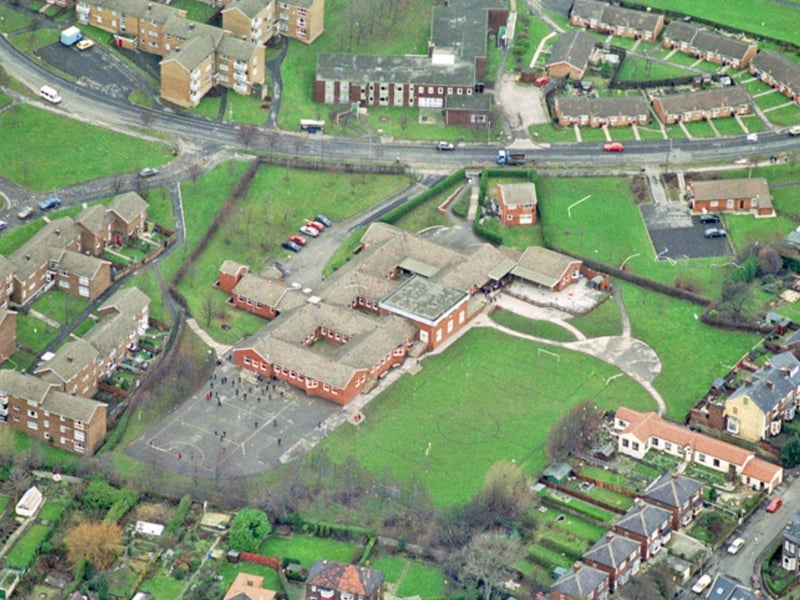
3. St Catherine's RC First and Middle School
An aerial view of St Catherine's RC First and Middle School, Shirecliffe, Sheffield, in February 1996, with Firshill Crescent in the background and Roe Lane to the right | Picture Sheffield Photo: Picture Sheffield
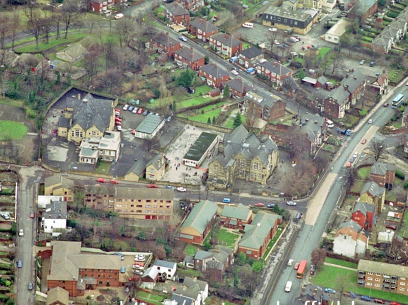
4. Firs Hill Junior and Infant School
Looking down at Firs Hill Junior and Infant School, Orphanage Road, Sheffield, in 1996, with Barnsley Road to the right, Roe Lane on the left and Firshill Crescent in the background | Picture Sheffield Photo: Picture Sheffield