

A new interactive map breaks down the number of people testing positive for coronavirus by neighbourhood from September 11-September 17, revealing the spots with the highest infection rate.
The map, produced by Public Health England, only shows those areas with three or more cases during the latest week.
Here’s the full list of all neighbourhoods within Sheffield in which three or more confirmed cases of coronavirus were recorded.
Areas that recorded less than five cases from September 11-15 are as follows:
Springvale and Steelbank- 4
Upperthorpe and Netherthorpe- 4
Malin Bridge and Wisewood- 4
Grenoside and Ecclesfield North- 4
Walkley- 3
Batemoor and Jordanthorpe- 3
Wadsley and Marcliffe- 3
Shirecliffe and Parkwood Springs- 3
Dore and Whirlow- 3
Beauchief- 3
Greenhill and Lowedges- 3
Norton and Norton Lees- 3
Meersbrook- 3
Herdings and Gleadless Valley- 3
Birley- 3
Woodhouse West- 3
Park Hill and Wybourn- 3
Cathedral and Kelham- 3
Devonshire Quarter- 3
Endcliffe and Ranmoor- 3
- RELATED: "Strokely Come Dancing" returns to Sheffield after 10 years
- RELATED: Why Sheffield fruit fly population is surging in autumn - and what to do about them
- RELATED: Tiny white flies swarm Sheffield - this is why
- RELATED: 'Is Andy Burnham's dream of decent care for elderly so terrifying?' - Nancy Fielder
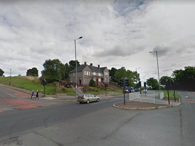
13. WOODTHORPE- 6
Six new cases were reported in Woodthorpe from September 11-17. Photo: Google Maps
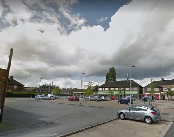
14. PARSON CROSS- 6
Parson Cross recorded six cases from September 11-17. Photo: Google Maps
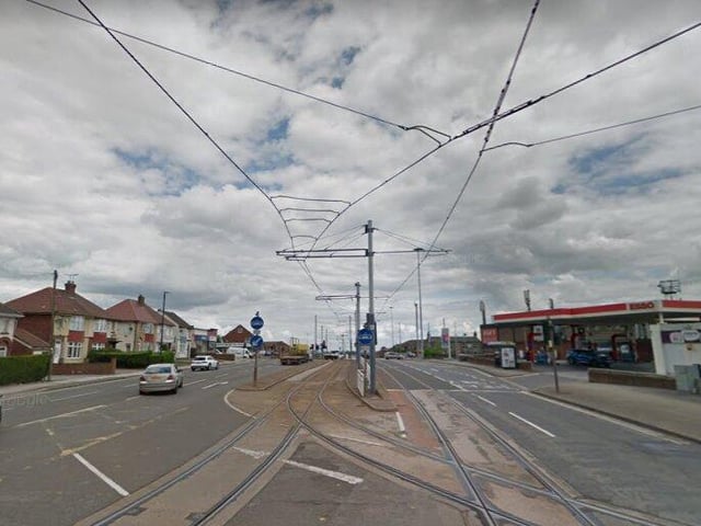
15. GLEADLESS- 5
Gleadless has recorded five new cases in the past week. Photo: Google Maps
16. BRIGHTSIDE AND WINCOBANK- 5
There have been five new cases in this area within the past week. Photo: Google Maps